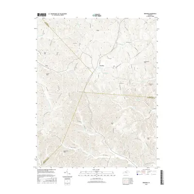
2016 Map of Breeding
USGS Topo · Published 2016About this map
Breeding and the surrounding highlands of south-central Kentucky are defined by a complex network of ridges and narrow stream valleys where the borders of Adair, Metcalfe, and Cumberland counties converge. The local landscape is a patchwork of family-named landmarks and small rural settlements like Toria and Cofer. Significant topographic features such as Mosby Ridge and Schemerhorn Ridge divide the headwaters of numerous creeks, including the E Fork Little Barren River and Big Renox Cr. Genealogists will find several notable burial sites documented, including Janes Cem and Jessee Cem, which sit alongside winding rural routes like Old Fudge Cemetery Rd and Salt Peter Cave Rd. The drainage patterns of Harrods Fork and Casey Fork illustrate the deeply dissected nature of this plateau region during the early twenty-first century.
Find a feature on this map
85 named features on this map. Tap any name to fly to it.
Don’t see what you’re looking for? This feature index may not catch every label — zoom into the map to look around manually.
Map Details
Editions of this 2016 Breeding Map
This is the sole edition of this map. No revisions or reprints were ever made.
Other maps of this area

1953 · Gradyville
USGS Topo · 1:24,000

1953 · Breeding
USGS Topo · 1:24,000

1953 · Waterview
USGS Topo · 1:24,000

1953 · Edmonton
USGS Topo · 1:24,000

1953 · Amandaville
USGS Topo · 1:24,000

1953 · Burkesville
USGS Topo · 1:24,000

1953 · Dubre
USGS Topo · 1:24,000

1953 · East Fork
USGS Topo · 1:24,000

1954 · Columbia
USGS Topo · 1:24,000

1956 · Corbin
USGS Topo · 1:250,000