2019 Map of Breeding
USGS Topo · Published 2019About this map
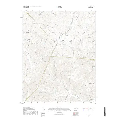
Breeding serves as a central point in this part of South Central Kentucky, where the headwaters of several drainages begin their descent through a landscape defined by prominent ridges. The geography is characterized by long, high ground like Schemerhorn Ridge and Mosby Ridge, which separate the local creek systems. This modern survey shows the enduring importance of rural road networks, with names like Red Lick Rd and Burkesville Rd following the high ground to connect small communities like Toria and Cofer. For those researching local family history, several burial sites are documented including Jessee Cem and Janes Cem. The map effectively captures the intersection of Adair, Metcalfe, and Cumberland counties, a region where the land's contours still dictate the placement of homes and thoroughfares.
Find a feature on this map
95 named features on this map. Tap any name to fly to it.
Don’t see what you’re looking for? This feature index may not catch every label — zoom into the map to look around manually.
Map Details
Editions of this 2019 Breeding Map
This is the sole edition of this map. No revisions or reprints were ever made.
Other maps of this area

1953 · Gradyville
USGS Topo · 1:24,000

1953 · Breeding
USGS Topo · 1:24,000

1953 · Waterview
USGS Topo · 1:24,000

1953 · Edmonton
USGS Topo · 1:24,000

1953 · Amandaville
USGS Topo · 1:24,000

1953 · Burkesville
USGS Topo · 1:24,000

1953 · Dubre
USGS Topo · 1:24,000

1953 · East Fork
USGS Topo · 1:24,000

1954 · Columbia
USGS Topo · 1:24,000

1956 · Corbin
USGS Topo · 1:250,000