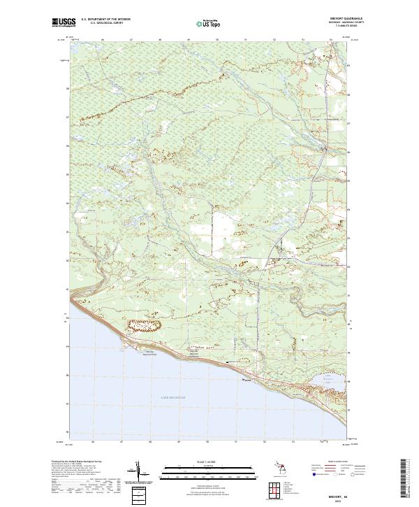
2023 Map of Brevort
USGS Topo · Published 2023About this map
The settlement of Brevort sits perched along the northern shoreline of Lake Michigan, where the coastal landscape is defined by the steep Manitou Payment Highbanks and the prominent Manitou Payment Point. This modern survey illustrates a complex network of recreational and historic paths, including the Brevort-Trout Lake Motorcycle Trl and the Carp River Snomo Trl, which navigate the dense wetlands and creek-fed interiors. Near the coast, the Western Cem serves as a quiet record of local heritage, situated just west of the mouth of the Little Brevoort River. The interior drainage is dominated by the South Branch Carp River and the Cut River, which cut through a landscape that transitioned from early logging and pioneer settlement to a modern focus on outdoor recreation, as evidenced by the Switchback Ridge Pathway Trl near Little Brevoort Lake.
Find a feature on this map
35 named features on this map. Tap any name to fly to it.
Don’t see what you’re looking for? This feature index may not catch every label — zoom into the map to look around manually.
Map Details
Editions of this 2023 Brevort Map
This is the sole edition of this map. No revisions or reprints were ever made.
Other maps of this area

1931 · Epoufette SE
USGS Topo · 1:31,680

1931 · Epoufette NE
USGS Topo · 1:31,680

1931 · Epoufette NW
USGS Topo · 1:31,680

1931 · Epoufette SW
USGS Topo · 1:31,680

1948 · Moran NW
USGS Topo · 1:31,680

1954 · Sault Sainte Marie
USGS Topo · 1:250,000

1955 · Cheboygan
USGS Topo · 1:250,000

1956 · Sault Sainte Marie
USGS Topo · 1:250,000

1957 · Sault Sainte Marie
USGS Topo · 1:250,000

1958 · Cheboygan
USGS Topo · 1:250,000