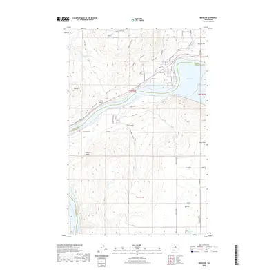
1989 Map of Brewster
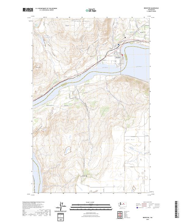
USGS Topo · Published 1993About this map
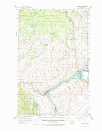
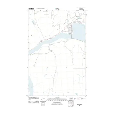
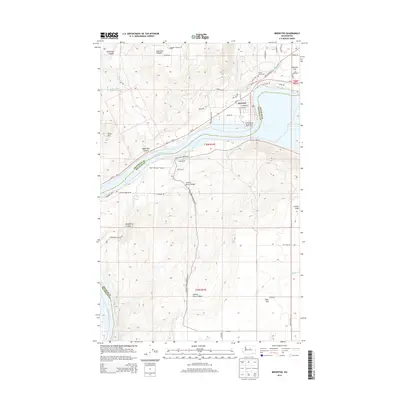
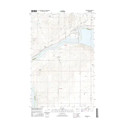
Brewster occupies a strategic position at the confluence of the river systems in northern Washington, serving as a focal point for the region's agricultural and transit infrastructure. The landscape is defined by the expanse of Lake Pateros, which separates Okanogan and Douglas counties. To the north, Brewster Flat and the residential area of Harmony Heights suggest the plateau-based development typical of the Columbia Basin. The map details the technical infrastructure supporting the town, including multiple Pumping Stations and a Radio Facility, alongside conservation lands like the Indian Dan State Wildlife Recreation Area. Rugged relief is evident in the elevation at Dyer Hill and Tenas Mtn, while deep incisions such as Indian Dan Canyon and Central Ferry Canyon reveal the complex drainage patterns feeding into the main river channel.
Find a feature on this map
22 named features on this map. Tap any name to fly to it.
Don’t see what you’re looking for? This feature index may not catch every label — zoom into the map to look around manually.
Map Details
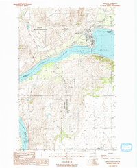
Editions of this 1989 Brewster Map
2 editions found
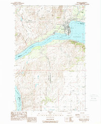
Historical Maps of Brewster Through Time
7 maps found