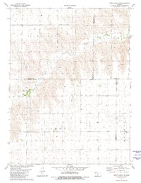
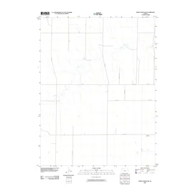
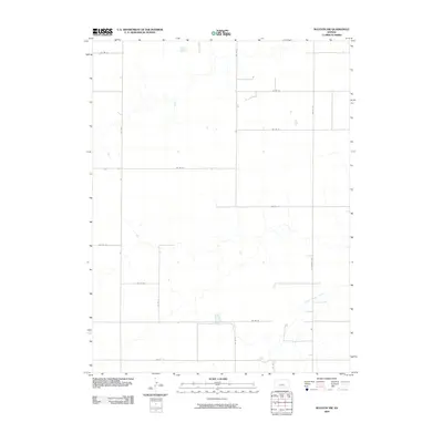
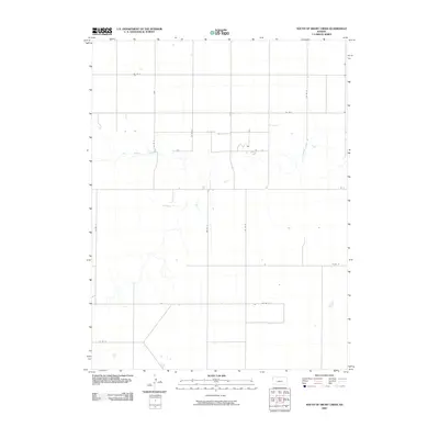
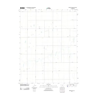
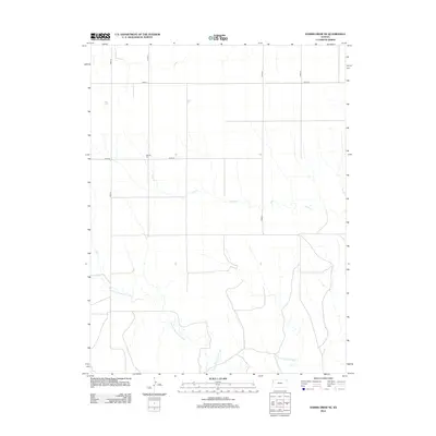
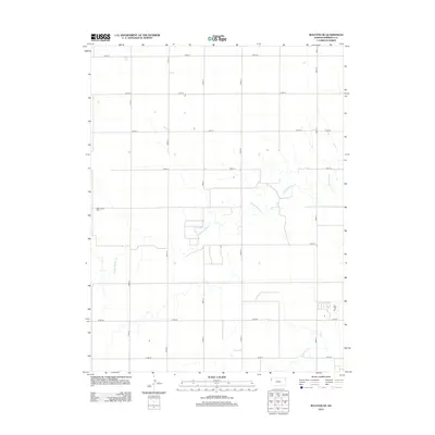
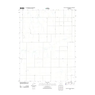
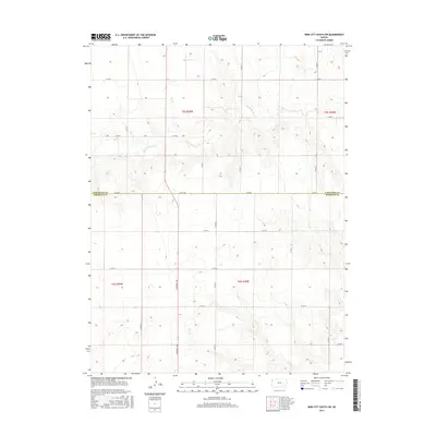
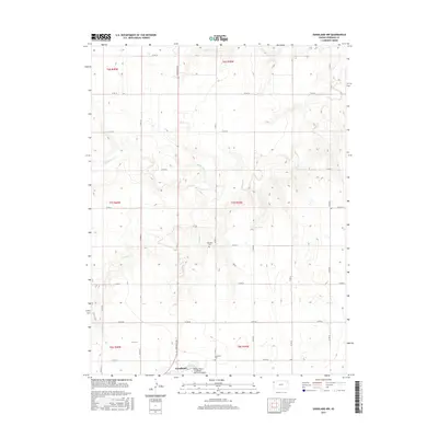
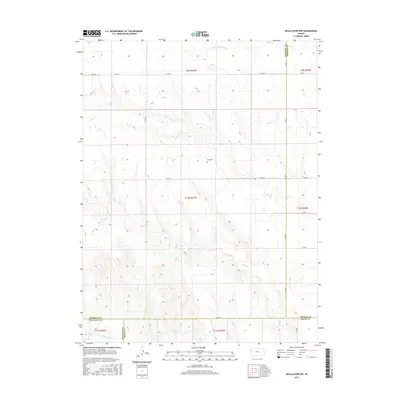
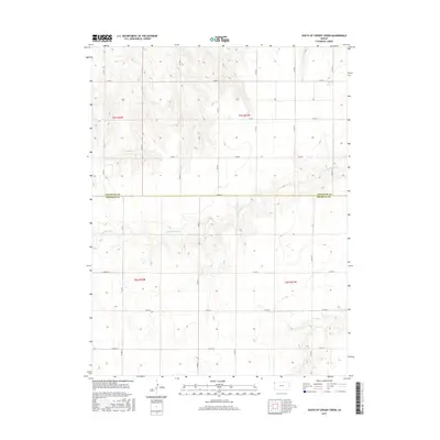
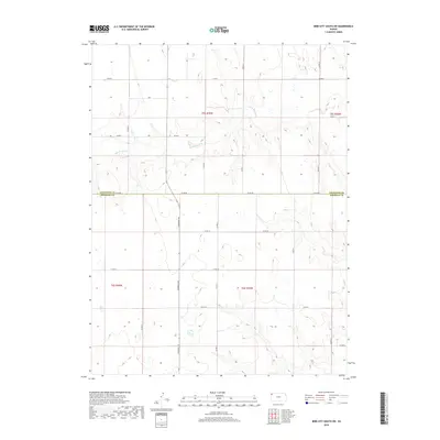
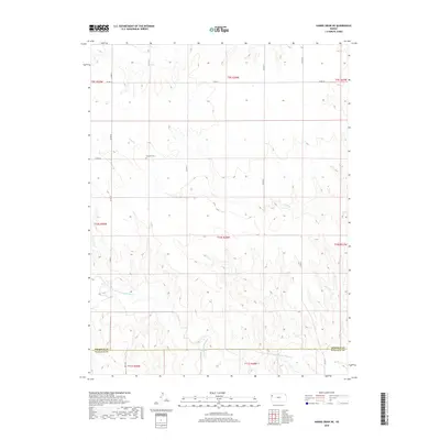
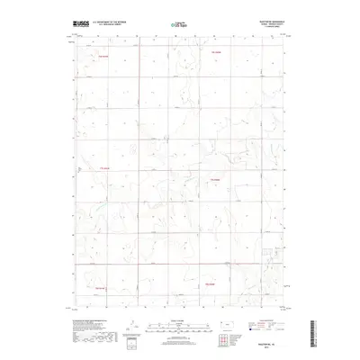
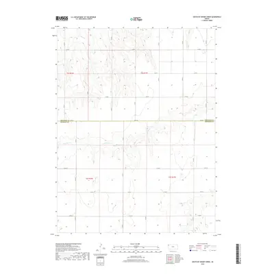
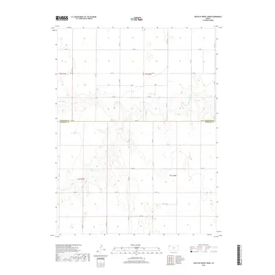
1966 Map of Brewster NW
USGS Topo · Published 1968About this map
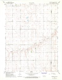
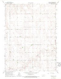
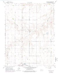
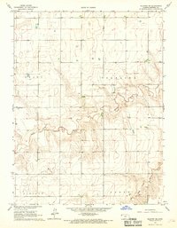
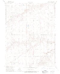
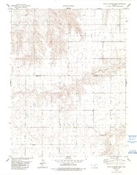
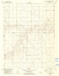
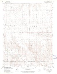
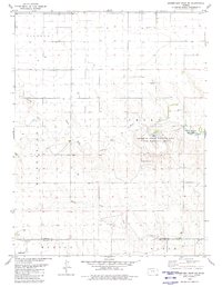
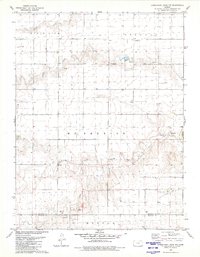
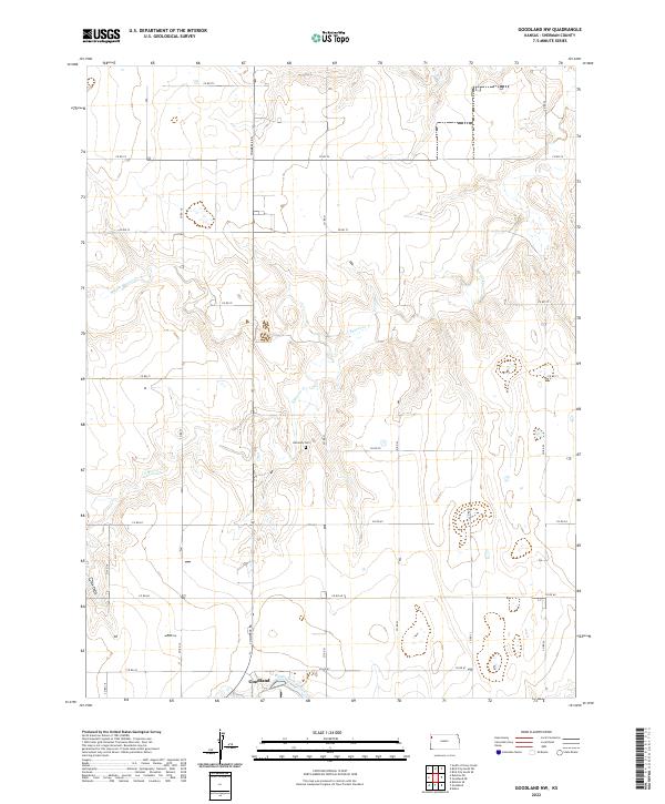
Middle Fork Sappa Creek carves a distinct path through the high plains of the High Plains, defining the drainage patterns across Llano, Barrett, and West Hale townships. This 1966 field-checked survey reveals a landscape organized by section lines and agricultural water management, evidenced by numerous wells scattered across the upland flats. Local social history is anchored by the Pleasant Home Ch, which also serves as a cemetery site, and the Freeland Cem further north. Traces of historical transportation infrastructure are visible in the southeast corner along the Old Railroad Grade as it crosses from Sherman County into Thomas County. The map provides a precise look at the rural transition where the creek valley interrupts the flat agricultural tableland of Union township.
Find a feature on this map
11 named features on this map. Tap any name to fly to it.
Don’t see what you’re looking for? This feature index may not catch every label — zoom into the map to look around manually.
Map Details
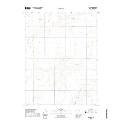
Editions of this 1966 Brewster NW Map
This is the sole edition of this map. No revisions or reprints were ever made.
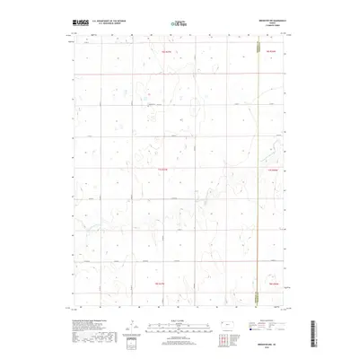
Historical Maps of Thomas County Through Time
102 maps found
1966 Brewster NW
Sherman County, KS
1966 Goodland NE
Sherman County, KS
1966 Goodland NW
Sherman County, KS
1966 Ruleton NE
Sherman County, KS
1966 Ruleton NW
Sherman County, KS
1966 Ruleton SE
Sherman County, KS
1966 Ruleton
Sherman County, KS
1969 Mc Allaster NW
Sherman County, KS
1978 South of Crosby Creek
Sherman County, KS
1978 South of Drury Creek
Sherman County, KS
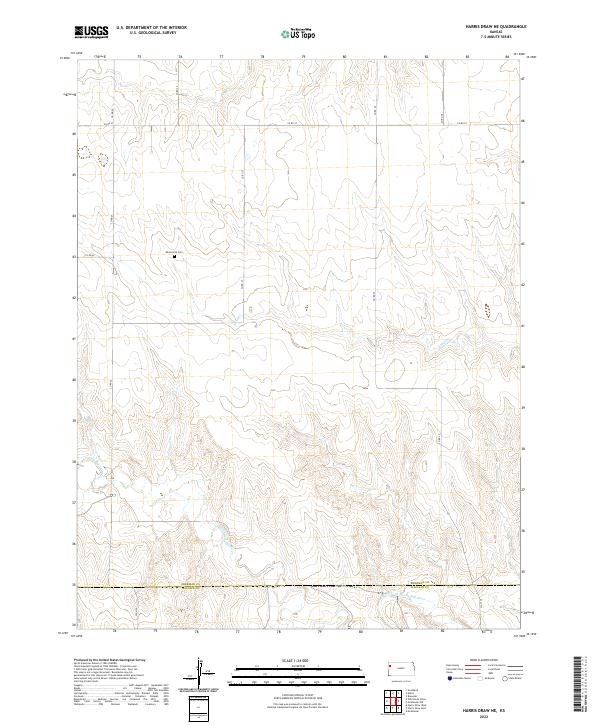
1979 Harris Draw NE
Sherman County, KS
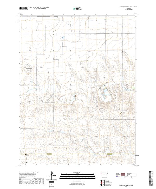
1979 Horsethief Draw NE
Sherman County, KS
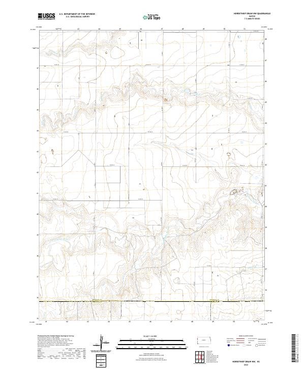
1979 Horsethief Draw NW
Sherman County, KS
1979 Wild Horse Draw
Sherman County, KS
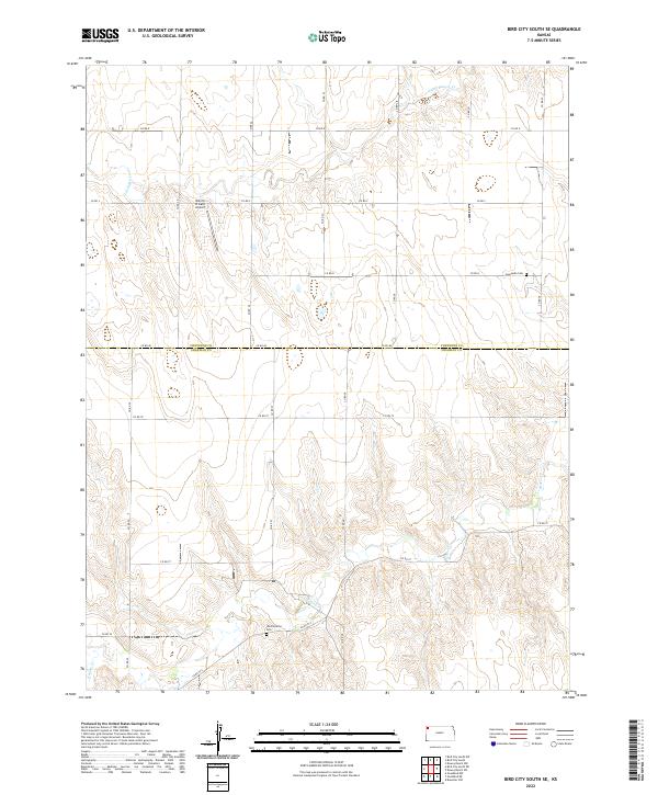
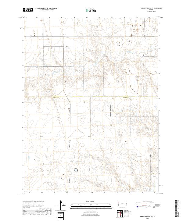
1981 Bird City South SE
Sherman County, KS
1981 Bird City South SW
Sherman County, KS
1981 Dewey Ranch SW
Sherman County, KS
2009 Bird City South SE
Sherman County, KS
2009 Bird City South SW
Sherman County, KS
2009 Brewster NW
Sherman County, KS
2009 Dewey Ranch SW
Sherman County, KS
2009 Goodland NE
Sherman County, KS
2009 Goodland NW
Sherman County, KS
2009 Harris Draw NE
Sherman County, KS
2009 Horsethief Draw NE
Sherman County, KS
2009 Horsethief Draw NW
Sherman County, KS
2009 McAllaster NW
Sherman County, KS
2009 Ruleton NE
Sherman County, KS
2009 Ruleton NW
Sherman County, KS
2009 Ruleton SE
Sherman County, KS
2009 Ruleton
Sherman County, KS
2009 South of Crosby Creek
Sherman County, KS
2009 South of Drury Creek
Sherman County, KS
2009 Wild Horse Draw
Sherman County, KS
2012 Bird City South SE
Sherman County, KS
2012 Bird City South SW
Sherman County, KS
2012 Brewster NW
Sherman County, KS
2012 Dewey Ranch SW
Sherman County, KS
2012 Goodland NE
Sherman County, KS
2012 Goodland NW
Sherman County, KS
2012 Harris Draw NE
Sherman County, KS
2012 Horsethief Draw NE
Sherman County, KS
2012 Horsethief Draw NW
Sherman County, KS
2012 McAllaster NW
Sherman County, KS
2012 Ruleton NE
Sherman County, KS
2012 Ruleton NW
Sherman County, KS
2012 Ruleton SE
Sherman County, KS
2012 Ruleton
Sherman County, KS
2012 South of Crosby Creek
Sherman County, KS
2012 South of Drury Creek
Sherman County, KS
2012 Wild Horse Draw
Sherman County, KS
2015 Bird City South SE
Sherman County, KS
2015 Bird City South SW
Sherman County, KS
2015 Brewster NW
Sherman County, KS
2015 Dewey Ranch SW
Sherman County, KS
2015 Goodland NE
Sherman County, KS
2015 Goodland NW
Sherman County, KS
2015 Harris Draw NE
Sherman County, KS
2015 Horsethief Draw NE
Sherman County, KS
2015 Horsethief Draw NW
Sherman County, KS
2015 McAllaster NW
Sherman County, KS

2015 Ruleton NE
Sherman County, KS
2015 Ruleton NW
Sherman County, KS
2015 Ruleton SE
Sherman County, KS
2015 Ruleton
Sherman County, KS
2015 South of Crosby Creek
Sherman County, KS
2015 South of Drury Creek
Sherman County, KS
2015 Wild Horse Draw
Sherman County, KS
2018 Bird City South SE
Sherman County, KS
2018 Bird City South SW
Sherman County, KS
2018 Brewster NW
Sherman County, KS

2018 Dewey Ranch SW
Sherman County, KS
2018 Goodland NE
Sherman County, KS
2018 Goodland NW
Sherman County, KS
2018 Harris Draw NE
Sherman County, KS
2018 Horsethief Draw NE
Sherman County, KS
2018 Horsethief Draw NW
Sherman County, KS
2018 McAllaster NW
Sherman County, KS
2018 Ruleton NE
Sherman County, KS
2018 Ruleton NW
Sherman County, KS
2018 Ruleton SE
Sherman County, KS
2018 Ruleton
Sherman County, KS
2018 South of Crosby Creek
Sherman County, KS
2018 South of Drury Creek
Sherman County, KS
2018 Wild Horse Draw
Sherman County, KS
2022 Bird City South SE
Sherman County, KS
2022 Bird City South SW
Sherman County, KS
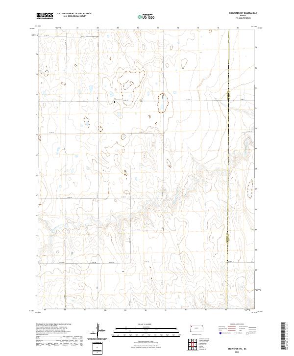
2022 Brewster NW
Sherman County, KS
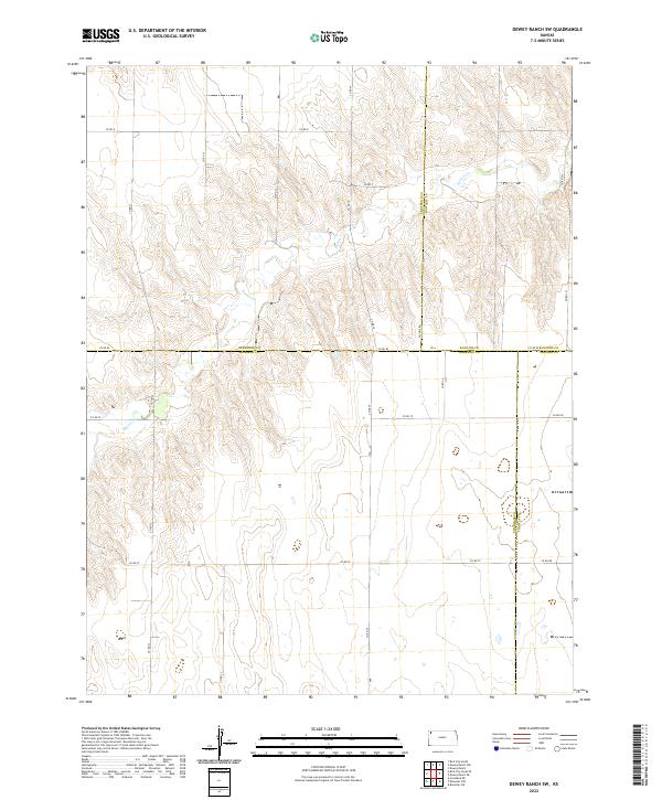
2022 Dewey Ranch SW
Sherman County, KS
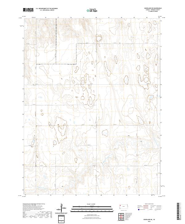
2022 Goodland NE
Sherman County, KS
2022 Goodland NW
Sherman County, KS
2022 Harris Draw NE
Sherman County, KS
2022 Horsethief Draw NE
Sherman County, KS
2022 Horsethief Draw NW
Sherman County, KS
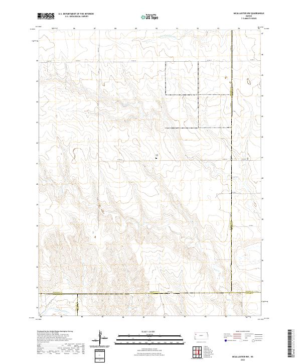
2022 McAllaster NW
Sherman County, KS
2022 Ruleton NE
Sherman County, KS
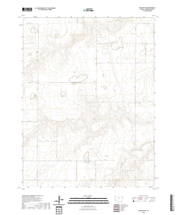
2022 Ruleton NW
Sherman County, KS
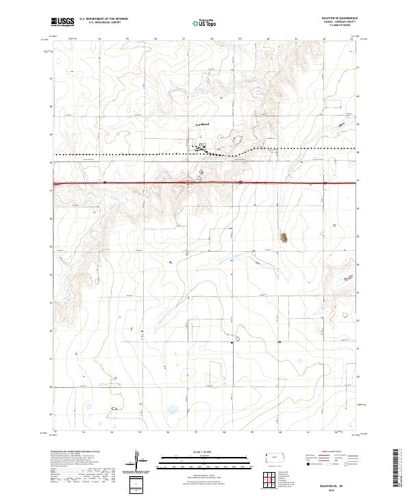
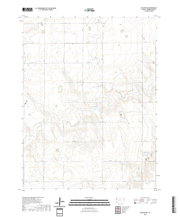
2022 Ruleton SE
Sherman County, KS
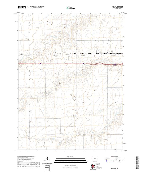
2022 Ruleton
Sherman County, KS
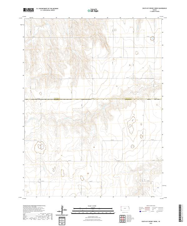
2022 South of Crosby Creek
Sherman County, KS
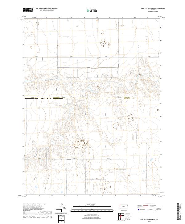
2022 South of Drury Creek
Sherman County, KS
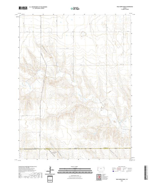
2022 Wild Horse Draw
Sherman County, KS