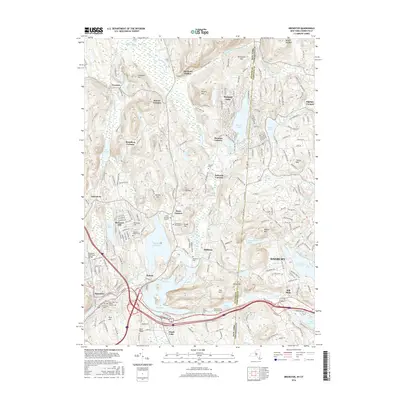
2016 Map of Brewster
USGS Topo · Published 2016About this map
The New York and Connecticut border splits this landscape, where the reservoirs of the Croton system meet the western edge of Danbury. The terrain is defined by a series of north-south valleys and ridges, including Titicus Mtn and Browns Mtn, which frame the East Branch Croton River as it flows toward the E Br Reservoir. The map documents a dense network of early crossroads and hamlets, such as Haines Corners, Deforest Corners, and Steinbeck Corners, each reflecting a lineage of landownership and early road development.
Find a feature on this map
86 named features on this map. Tap any name to fly to it.
Don’t see what you’re looking for? This feature index may not catch every label — zoom into the map to look around manually.
Map Details
Editions of this 2016 Brewster Map
This is the sole edition of this map. No revisions or reprints were ever made.
Other maps of this area

1892 · Danbury
USGS Topo · 1:62,500

1892 · New Milford
USGS Topo · 1:62,500

1892 · Carmel
USGS Topo · 1:62,500

1893 · Carmel
USGS Topo · 1:62,500

1893 · New Milford
USGS Topo · 1:62,500

1893 · Clove
USGS Topo · 1:62,500

1894 · Clove
USGS Topo · 1:62,500

1894 · Carmel
USGS Topo · 1:62,500

1898 · Clove
USGS Topo · 1:62,500

1901 · Clove
USGS Topo · 1:62,500