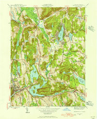
1943 Map of Brewster
USGS Topo · Published 1956About this map
The Great Swamp and the undulating hills of the New York-Connecticut border define this mid-century landscape. The area is dominated by the sprawling engineering of the Croton Watershed, featuring the massive Bog Brook Reservoir and East Branch Reservoir, which fundamentally reshaped the local topography to serve the needs of a growing metropolis. The New York Central railroad cuts through the western corridor, connecting rural outposts like Towners and Dykemans to the larger regional network.
Find a feature on this map
66 named features on this map. Tap any name to fly to it.
Don’t see what you’re looking for? This feature index may not catch every label — zoom into the map to look around manually.
Map Details
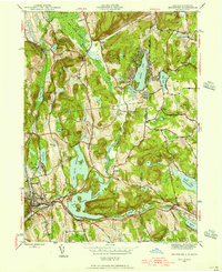
Editions of this 1943 Brewster Map
2 editions found
Other maps of this area

1892 · Danbury
USGS Topo · 1:62,500

1892 · New Milford
USGS Topo · 1:62,500

1892 · Carmel
USGS Topo · 1:62,500

1893 · Carmel
USGS Topo · 1:62,500

1893 · New Milford
USGS Topo · 1:62,500

1893 · Clove
USGS Topo · 1:62,500

1894 · Clove
USGS Topo · 1:62,500

1894 · Carmel
USGS Topo · 1:62,500

1898 · Clove
USGS Topo · 1:62,500

1901 · Clove
USGS Topo · 1:62,500