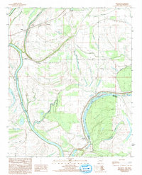
1984 Map of Brickeys
USGS Topo · Published 1993About this map
The St Francis River and its meandering tributaries define this landscape along the border of Arkansas and Mississippi in the early 1980s. Small agricultural settlements like Brickeys, Park Place, and Whitehall are scattered across the alluvial plain, connected by a network of bayous and drainage ways. Evidence of earlier infrastructure is visible in the Old Railroad Grade that cuts through the northern portion of the map near Gassert.
Find a feature on this map
24 named features on this map. Tap any name to fly to it.
Don’t see what you’re looking for? This feature index may not catch every label — zoom into the map to look around manually.
Map Details
Editions of this 1984 Brickeys Map
2 editions found
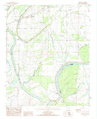
Other maps of this area

1931 · Horseshoe Lake
USGS Topo · 1:62,500

1939 · Clayton
USGS Topo · 1:62,500

1939 · Horseshoe Lake
USGS Topo · 1:62,500

1939 · Park Place
USGS Topo · 1:62,500

1939 · Latour
USGS Topo · 1:62,500

1948 · Helena
USGS Topo · 1:250,000

1950 · Helena
USGS Topo · 1:250,000

1954 · Horseshoe Lake
USGS Topo · 1:62,500
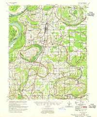
1955 · Clayton
USGS Topo · 1:62,500

1955 · Park Place
USGS Topo · 1:62,500