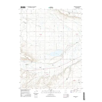
2017 Map of Bridgeland
USGS Topo · Published 2017About this map
The confluence of the Lake Fork River and the Duchesne River anchors this study of Duchesne County, where an extensive irrigation network supports the high desert landscape. Settled communities like Arcadia and Bridgeland are surrounded by engineered waterways, including the Moon Lake Canal, Midview Lateral, and Ute-land Canal, which transform the arid plains of the Uinta Valley into productive land.
Find a feature on this map
36 named features on this map. Tap any name to fly to it.
Don’t see what you’re looking for? This feature index may not catch every label — zoom into the map to look around manually.
Map Details
Editions of this 2017 Bridgeland Map
This is the sole edition of this map. No revisions or reprints were ever made.
Other maps of this area

1885 · Uinta
USGS Topo · 1:250,000

1939 · Duchesne
USGS Topo · 1:125,000

1954 · Salt Lake City
USGS Topo · 1:250,000

1958 · Salt Lake City
USGS Topo · 1:250,000

1960 · Salt Lake City
USGS Topo · 1:250,000
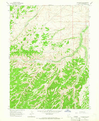
1964 · Duchesne SE
USGS Topo · 1:24,000
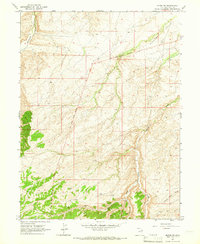
1964 · Myton SW
USGS Topo · 1:24,000
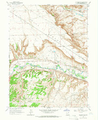
1964 · Duchesne NE
USGS Topo · 1:24,000
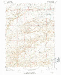
1964 · Myton SE
USGS Topo · 1:24,000
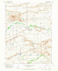
1964 · Myton
USGS Topo · 1:24,000