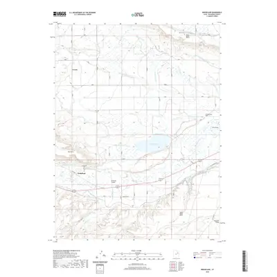
2020 Map of Bridgeland
USGS Topo · Published 2020About this map
Bridgeland and Arcadia serve as the primary anchors of this Duchesne County landscape, which is defined by an intricate network of irrigation systems and river drainage. The confluence of the Lake Fork River and the Duchesne River drives the local geography, supporting a series of elevated features such as North Myton Bench, South Myton Bench, and Blue Bench. The presence of Lake Boreham and numerous named canals, including the Moon Lake Canal and Duchesne Feeder Canal, illustrates the long-standing importance of water management in the Uinta Valley.
Find a feature on this map
32 named features on this map. Tap any name to fly to it.
Don’t see what you’re looking for? This feature index may not catch every label — zoom into the map to look around manually.
Map Details
Editions of this 2020 Bridgeland Map
This is the sole edition of this map. No revisions or reprints were ever made.
Other maps of this area

1885 · Uinta
USGS Topo · 1:250,000

1939 · Duchesne
USGS Topo · 1:125,000

1954 · Salt Lake City
USGS Topo · 1:250,000

1958 · Salt Lake City
USGS Topo · 1:250,000

1960 · Salt Lake City
USGS Topo · 1:250,000
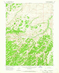
1964 · Duchesne SE
USGS Topo · 1:24,000
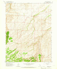
1964 · Myton SW
USGS Topo · 1:24,000
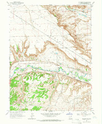
1964 · Duchesne NE
USGS Topo · 1:24,000
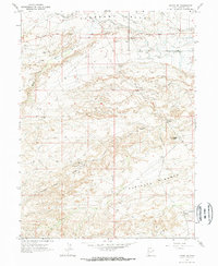
1964 · Myton SE
USGS Topo · 1:24,000
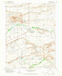
1964 · Myton
USGS Topo · 1:24,000