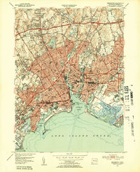
1951 Map of Bridgeport
USGS Topo · Published 1953About this map
Bridgeport's urban industrial landscape and complex coastline are caught in detail just after mid-century, showing the city's growth from Black Rock Harbor to the Housatonic River. The map documents a dense network of neighborhoods including East Bridgeport, Stratfield, and Newfield, where the New York New Haven and Hartford RR corridor defines the southern industrial edge near Bridgeport Harbor. Numerous civic institutions are visible, from the University of Bridgeport near the shore to the County Jail and several specialized hospitals.
Find a feature on this map
107 named features on this map. Tap any name to fly to it.
Don’t see what you’re looking for? This feature index may not catch every label — zoom into the map to look around manually.
Map Details
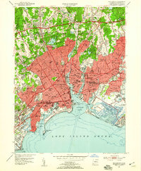
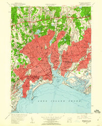
Editions of this 1951 Bridgeport Map
3 editions found
Other maps of this area

1889 · Derby
USGS Topo · 1:62,500

1891 · Bridgeport
USGS Topo · 1:62,500

1891 · Derby
USGS Topo · 1:62,500

1892 · Danbury
USGS Topo · 1:62,500

1892 · Norwalk
USGS Topo · 1:62,500

1893 · Bridgeport
USGS Topo · 1:62,500

1893 · Norwalk
USGS Topo · 1:62,500

1893 · Derby
USGS Topo · 1:62,500

1915 · Danbury
USGS Topo · 1:62,500

1920 · Bridgeport
USGS Topo · 1:62,500