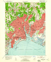
1951 Map of Bridgeport
USGS Topo · Published 1959About this map
The industrial and maritime core of Bridgeport is captured in detail shortly after mid-century, showing a densely developed coastline where the New York New Haven and Hartford railroad cuts through established neighborhoods like East Bridgeport and Black Rock. The city's social infrastructure is evident through an extensive network of educational institutions, ranging from local landmarks like Bassick High Sch to the expanding campus of the University of Bridgeport near Seaside Park.
Find a feature on this map
116 named features on this map. Tap any name to fly to it.
Don’t see what you’re looking for? This feature index may not catch every label — zoom into the map to look around manually.
Map Details
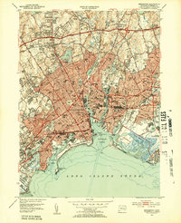
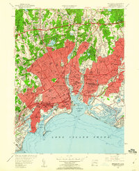
Editions of this 1951 Bridgeport Map
3 editions found
Other maps of this area

1889 · Derby
USGS Topo · 1:62,500

1891 · Bridgeport
USGS Topo · 1:62,500

1891 · Derby
USGS Topo · 1:62,500

1892 · Danbury
USGS Topo · 1:62,500

1892 · Norwalk
USGS Topo · 1:62,500

1893 · Bridgeport
USGS Topo · 1:62,500

1893 · Norwalk
USGS Topo · 1:62,500

1893 · Derby
USGS Topo · 1:62,500

1915 · Danbury
USGS Topo · 1:62,500

1920 · Bridgeport
USGS Topo · 1:62,500