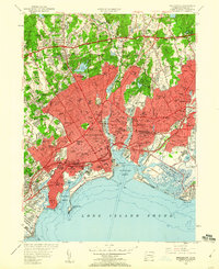
1951 Map of Bridgeport
USGS Topo · Published 1960About this map
Bridgeport was a dense industrial and maritime hub in the mid-century, dominated by its deep-water access and extensive rail network. The New York New Haven and Hartford railroad cuts through the urban core, feeding the East End Freight Yards and connecting the city's manufacturing districts to the wider region. Along the waterfront, Bridgeport Harbor and the Yellow Mill Channel illustrate a landscape defined by heavy industry and transit, while the University of Bridgeport and Seaside Park anchor the southern shoreline.
Find a feature on this map
117 named features on this map. Tap any name to fly to it.
Don’t see what you’re looking for? This feature index may not catch every label — zoom into the map to look around manually.
Map Details
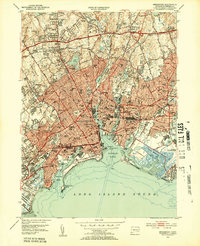
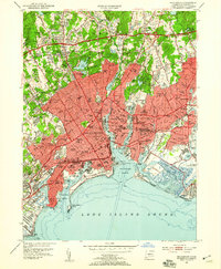
Editions of this 1951 Bridgeport Map
3 editions found
Other maps of this area

1889 · Derby
USGS Topo · 1:62,500

1891 · Bridgeport
USGS Topo · 1:62,500

1891 · Derby
USGS Topo · 1:62,500

1892 · Danbury
USGS Topo · 1:62,500

1892 · Norwalk
USGS Topo · 1:62,500

1893 · Bridgeport
USGS Topo · 1:62,500

1893 · Norwalk
USGS Topo · 1:62,500

1893 · Derby
USGS Topo · 1:62,500

1915 · Danbury
USGS Topo · 1:62,500

1920 · Bridgeport
USGS Topo · 1:62,500