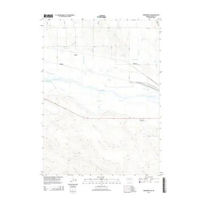
2014 Map of Bridgeport NW
USGS Topo · Published 2014About this map
The North Platte River corridor near Atkins is defined by an intricate network of early 20th-century irrigation infrastructure. This Morrill County landscape reveals the systematic diversion of water through the Belmont Canal, Empire Canal, and Alliance Canal, which supported agriculture across the arid plains. Small rural sidings and settlements like Mohler and DeGraw trace the path of the railroad and older transit routes. South of the river, the Oregon Trail Memorial Cem stands as a significant landmark along the path of the historic westward migration, situated near the Chimney Rock Canal. The convergence of these water-management systems, including the Belmont Diversion Reservoir, highlights the transition of the Nebraska panhandle from an open trail to a structured agricultural region.
Find a feature on this map
29 named features on this map. Tap any name to fly to it.
Don’t see what you’re looking for? This feature index may not catch every label — zoom into the map to look around manually.
Map Details
Editions of this 2014 Bridgeport NW Map
This is the sole edition of this map. No revisions or reprints were ever made.
Other maps of this area

1898 · Camp Clarke
USGS Topo · 1:125,000

1954 · Scottsbluff
USGS Topo · 1:250,000

1958 · Scottsbluff
USGS Topo · 1:250,000

1965 · Bayard
USGS Topo · 1:24,000

1965 · Bridgeport NW
USGS Topo · 1:24,000

1965 · Angora SE
USGS Topo · 1:24,000

1965 · South Bayard
USGS Topo · 1:24,000

1965 · Courthouse Rock
USGS Topo · 1:24,000
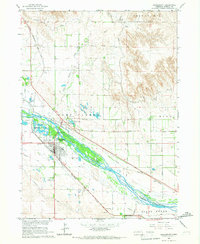
1965 · Bridgeport
USGS Topo · 1:24,000
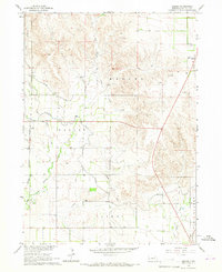
1965 · Angora
USGS Topo · 1:24,000