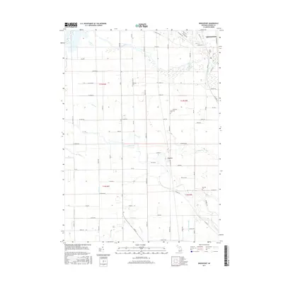
2017 Map of Bridgeport
USGS Topo · Published 2017About this map
The Cass River and the Flint River converge within this Saginaw County landscape, creating a complex network of waterways and managed drainage systems. The northern settlement of Bridgeport sits near the river bend, while the community of Fosters is located further south along the Railroad St corridor. This area reflects a long-standing agricultural and rural residential character, evidenced by the numerous local cemeteries that serve as focal points for family history, including Oak Grove Cem, Spaulding Cem, and Taymouth Cem.
Find a feature on this map
78 named features on this map. Tap any name to fly to it.
Don’t see what you’re looking for? This feature index may not catch every label — zoom into the map to look around manually.
Map Details
Editions of this 2017 Bridgeport Map
This is the sole edition of this map. No revisions or reprints were ever made.
Other maps of this area

1917 · Chesaning
USGS Topo · 1:62,500

1917 · St. Charles
USGS Topo · 1:62,500

1919 · Saginaw
USGS Topo · 1:62,500

1919 · Burt
USGS Topo · 1:62,500

1921 · Burt
USGS Topo · 1:62,500

1941 · Saginaw
USGS Topo · 1:62,500

1943 · Burt
USGS Topo · 1:62,500

1943 · Chesaning
USGS Topo · 1:62,500

1943 · Saginaw
USGS Topo · 1:62,500

1943 · St. Charles
USGS Topo · 1:62,500
Featured Places
- Bridgeport Charter Township, MI
- Albee Township, MI
- Taymouth Township, MI
- James Township, MI
- Spaulding Township, MI