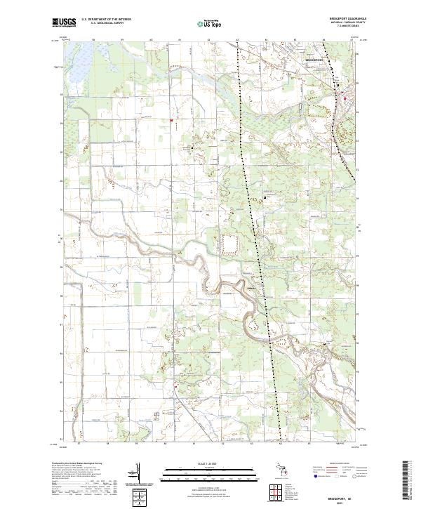
2023 Map of Bridgeport
USGS Topo · Published 2023About this map
The Bridgeport area is defined by the convergence of several major water systems, including the Cass River and the Flint River. This survey reveals a landscape where historical township boundaries like t11n r5e and t11n r4e organize the agricultural and residential layout. The transition between the suburban density of the northern settlement and the rural expanses to the south is marked by numerous family and community landmarks. Genealogists will find a significant concentration of burial grounds, including the Oak Grove Cem and the Spaulding Township Cem near the center of the quadrangle. The presence of the Flint River Water Trl suggests a modern recreational layer atop the established waterway system that includes Ferguson Bayou and several drainage routes like Cole Drain and Bortle Drain. Small pockets of development such as Fosters are situated along these winding river bends, showing the long-standing relationship between settlement patterns and the local hydrography.
Find a feature on this map
86 named features on this map. Tap any name to fly to it.
Don’t see what you’re looking for? This feature index may not catch every label — zoom into the map to look around manually.
Map Details
Editions of this 2023 Bridgeport Map
This is the sole edition of this map. No revisions or reprints were ever made.
Other maps of this area

1917 · Chesaning
USGS Topo · 1:62,500

1917 · St. Charles
USGS Topo · 1:62,500

1919 · Saginaw
USGS Topo · 1:62,500

1919 · Burt
USGS Topo · 1:62,500

1921 · Burt
USGS Topo · 1:62,500

1941 · Saginaw
USGS Topo · 1:62,500

1943 · Burt
USGS Topo · 1:62,500

1943 · Chesaning
USGS Topo · 1:62,500

1943 · Saginaw
USGS Topo · 1:62,500

1943 · St. Charles
USGS Topo · 1:62,500
Featured Places
- Spaulding Township, MI
- Bridgeport Charter Township, MI
- James Township, MI
- Fosters, MI
- Albee Township, MI