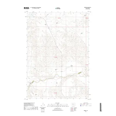
2017 Map of Bridger
USGS Topo · Published 2017About this map
The Cheyenne River winds through the southern landscape of this West River South Dakota survey, serving as the county line between Ziebach and Haakon Counties. The settlement of Bridger sits just north of the river, while the aptly named Four Corner Bridge provides a vital crossing point to the west. This is a region defined by its drainage patterns and broad, level plateaus, evidenced by named features like Bridger Flat and Barthold Flat.
Find a feature on this map
24 named features on this map. Tap any name to fly to it.
Don’t see what you’re looking for? This feature index may not catch every label — zoom into the map to look around manually.
Map Details
Editions of this 2017 Bridger Map
This is the sole edition of this map. No revisions or reprints were ever made.
Other maps of this area

1953 · Rapid City
USGS Topo · 1:250,000

1954 · Pierre
USGS Topo · 1:250,000

1955 · Bridger
USGS Topo · 1:24,000

1955 · Pedro
USGS Topo · 1:24,000

1955 · Bridger SE
USGS Topo · 1:24,000

1955 · Howes
USGS Topo · 1:24,000

1955 · Hilland NW
USGS Topo · 1:24,000

1957 · Rapid City
USGS Topo · 1:250,000

1958 · Pierre
USGS Topo · 1:250,000

1982 · Dead Horse Draw
USGS Topo · 1:24,000