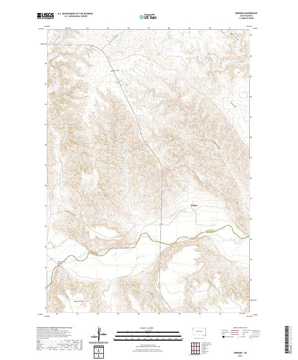
2021 Map of Bridger
USGS Topo · Published 2021About this map
The Cheyenne River carves a deep valley through this portion of the South Dakota plains, defining the border between Ziebach and Haakon Counties. The settlement of Bridger serves as a local focal point, situated near the northern banks where the river bends east. This topography is characterized by expansive plateau-like features such as Bridger Flat and Barthold Flat, which are dissected by numerous drainage draws and creeks including Bull Cr and Indian Springs Cr. A sparse network of local tracks like Tannini Rd and Ash Creek Rd connects the scattered landmarks of this cattle-ranching landscape. The presence of Four Corner Bridge highlights the critical crossings needed to navigate the waterway in this open country, while natural water sources like Hatchet Spring remain vital markers on the terrain.
Find a feature on this map
22 named features on this map. Tap any name to fly to it.
Don’t see what you’re looking for? This feature index may not catch every label — zoom into the map to look around manually.
Map Details
Editions of this 2021 Bridger Map
This is the sole edition of this map. No revisions or reprints were ever made.
Other maps of this area

1953 · Rapid City
USGS Topo · 1:250,000

1954 · Pierre
USGS Topo · 1:250,000
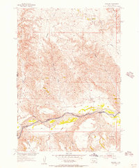
1955 · Bridger
USGS Topo · 1:24,000

1955 · Pedro
USGS Topo · 1:24,000

1955 · Bridger SE
USGS Topo · 1:24,000
1955 · Howes
USGS Topo · 1:24,000
1955 · Hilland NW
USGS Topo · 1:24,000

1957 · Rapid City
USGS Topo · 1:250,000

1958 · Pierre
USGS Topo · 1:250,000

1982 · Dead Horse Draw
USGS Topo · 1:24,000