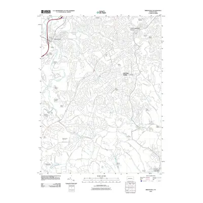
2010 Map of Bridgeville
USGS Topo · Published 2010About this map
Bridgeville, Bethel Park, and Castle Shannon anchor this landscape south of Pittsburgh during a period of established suburban growth. The terrain is defined by the winding paths of Chartiers Creek and Piney Fork, which carve through the plateau. This map serves as an exceptional resource for genealogists, as it documents a high density of religious burial grounds including Saint Anns Cemetery, Saint Sava Cemetery, and the Queen of Heaven Cemetery. Transportation history is visible through the The Montour Trl, utilizing the old rail corridor through the Montour Tunnel and Greer Tunnel. Local landmarks like Trax Farm Dam and Foleys Siding provide specific points of interest for researchers tracing the evolution of family farms and industrial rail spurs into the modern era.
Find a feature on this map
105 named features on this map. Tap any name to fly to it.
Don’t see what you’re looking for? This feature index may not catch every label — zoom into the map to look around manually.
Map Details
Editions of this 2010 Bridgeville Map
This is the sole edition of this map. No revisions or reprints were ever made.
Other maps of this area

1901 · Amity
USGS Topo · 1:62,500

1902 · Brownsville
USGS Topo · 1:62,500

1904 · Amity
USGS Topo · 1:62,500

1904 · Mc Keesport
USGS Topo · 1:62,500

1904 · Carnegie
USGS Topo · 1:62,500

1906 · Brownsville
USGS Topo · 1:62,500

1906 · Carnegie
USGS Topo · 1:62,500

1907 · Pittsburg
USGS Topo · 1:62,500

1908 · Carnegie
USGS Topo · 1:62,500

1931 · Brownsville
USGS Topo · 1:62,500