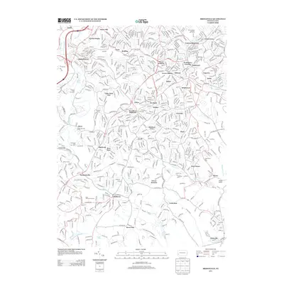
2013 Map of Bridgeville
USGS Topo · Published 2013About this map
Bridgeville and the surrounding southern suburbs of Pittsburgh are shown here during a period of established residential density and complex infrastructure. The map details the historical transit corridors that shaped these communities, including the Panhandle railroad line and Foleys Siding near Castle Shannon. The landscape is a mix of suburban development and specialized landmarks, such as the Sleepy Hollow Boys Camp and several golf courses including Wingfield Pines Golf Course.
Find a feature on this map
63 named features on this map. Tap any name to fly to it.
Don’t see what you’re looking for? This feature index may not catch every label — zoom into the map to look around manually.
Map Details
Editions of this 2013 Bridgeville Map
This is the sole edition of this map. No revisions or reprints were ever made.
Other maps of this area

1901 · Amity
USGS Topo · 1:62,500

1902 · Brownsville
USGS Topo · 1:62,500

1904 · Amity
USGS Topo · 1:62,500

1904 · Mc Keesport
USGS Topo · 1:62,500

1904 · Carnegie
USGS Topo · 1:62,500

1906 · Brownsville
USGS Topo · 1:62,500

1906 · Carnegie
USGS Topo · 1:62,500

1907 · Pittsburg
USGS Topo · 1:62,500

1908 · Carnegie
USGS Topo · 1:62,500

1931 · Brownsville
USGS Topo · 1:62,500