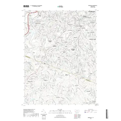
2019 Map of Bridgeville
USGS Topo · Published 2019About this map
Bridgeville and the southern suburbs of Pittsburgh are defined by a dense network of neighborhoods and cemeteries etched into the undulating terrain of the Allegheny Plateau. The landscape is marked by numerous religious sites and memorial grounds, including the Saint Barbara Roman Catholic Cem near Presto and the Westminster Presbyterian Church Columbarium in Upper St. Clair. These sites, alongside larger tracts like the Queen of Heaven Cem, provide significant touchstones for local genealogical research.
Find a feature on this map
74 named features on this map. Tap any name to fly to it.
Don’t see what you’re looking for? This feature index may not catch every label — zoom into the map to look around manually.
Map Details
Editions of this 2019 Bridgeville Map
This is the sole edition of this map. No revisions or reprints were ever made.
Other maps of this area

1901 · Amity
USGS Topo · 1:62,500

1902 · Brownsville
USGS Topo · 1:62,500

1904 · Amity
USGS Topo · 1:62,500

1904 · Mc Keesport
USGS Topo · 1:62,500

1904 · Carnegie
USGS Topo · 1:62,500

1906 · Brownsville
USGS Topo · 1:62,500

1906 · Carnegie
USGS Topo · 1:62,500

1907 · Pittsburg
USGS Topo · 1:62,500

1908 · Carnegie
USGS Topo · 1:62,500

1931 · Brownsville
USGS Topo · 1:62,500