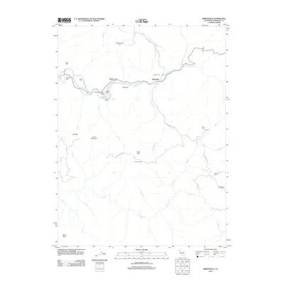
2012 Map of Bridgeville
USGS Topo · Published 2012About this map
Bridgeville serves as the focal point of this Humboldt County terrain, situated along the Van Duzen River where several regional roads converge. The settlement pattern follows the river valley and the ridge lines, marked by a high concentration of established family properties such as the Bar W Ranch, Jackmans Ranch, and Barnwell Ranch. These holdings highlight a rural economy deeply tied to the landscape, with landmarks like Schoolhouse Hill and the Bridgeville Cem anchoring the community's history.
Find a feature on this map
44 named features on this map. Tap any name to fly to it.
Don’t see what you’re looking for? This feature index may not catch every label — zoom into the map to look around manually.
Map Details
Editions of this 2012 Bridgeville Map
This is the sole edition of this map. No revisions or reprints were ever made.
Other maps of this area

1914 · Pilot Creek
USGS Topo · 1:62,500

1915 · Big Bar and Vicinity
USGS Topo · 1:250,000

1921 · Dyerville
USGS Topo · 1:62,500

1922 · Kneeland
USGS Topo · 1:62,500

1949 · Blocksburg
USGS Topo · 1:62,500

1949 · Weott
USGS Topo · 1:62,500

1950 · Iaqua Buttes
USGS Topo · 1:62,500

1951 · Weott
USGS Topo · 1:62,500

1951 · Blocksburg
USGS Topo · 1:62,500

1951 · Pilot Creek
USGS Topo · 1:62,500