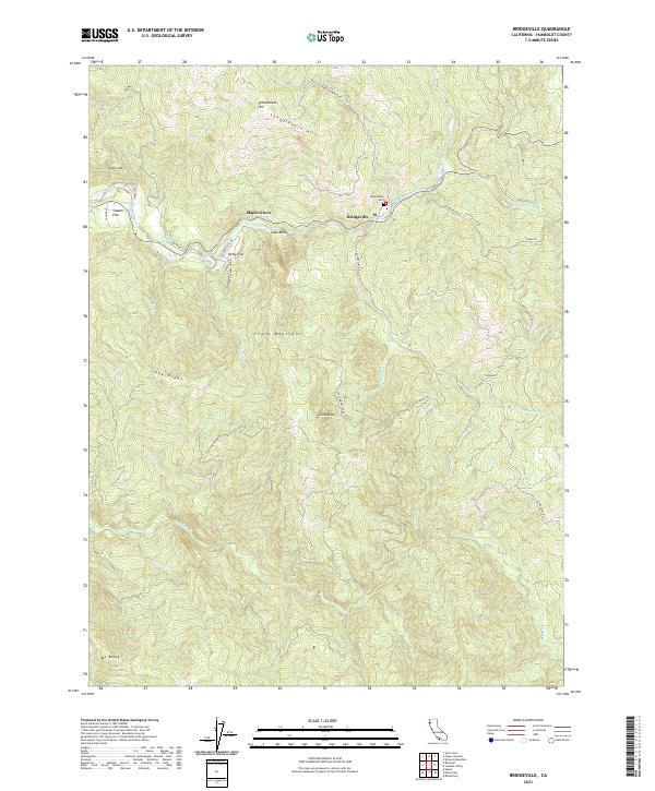
2021 Map of Bridgeville
USGS Topo · Published 2021About this map
The Van Duzen River carves a deep path through this section of Humboldt County, providing the primary corridor for settlement and transit along Alderpoint Rd. Small communities and river flats like Bridgeville, Maple Grove, and Swains Flat cluster near the water, while the surrounding terrain is defined by dramatic elevation changes. The Bridgeville Cem sits on a high bench overlooking the river, serving as a focal point for local genealogy and history.
Find a feature on this map
44 named features on this map. Tap any name to fly to it.
Don’t see what you’re looking for? This feature index may not catch every label — zoom into the map to look around manually.
Map Details
Editions of this 2021 Bridgeville Map
This is the sole edition of this map. No revisions or reprints were ever made.
Other maps of this area

1914 · Pilot Creek
USGS Topo · 1:62,500

1915 · Big Bar and Vicinity
USGS Topo · 1:250,000

1921 · Dyerville
USGS Topo · 1:62,500

1922 · Kneeland
USGS Topo · 1:62,500

1949 · Blocksburg
USGS Topo · 1:62,500

1949 · Weott
USGS Topo · 1:62,500

1950 · Iaqua Buttes
USGS Topo · 1:62,500

1951 · Weott
USGS Topo · 1:62,500

1951 · Blocksburg
USGS Topo · 1:62,500

1951 · Pilot Creek
USGS Topo · 1:62,500