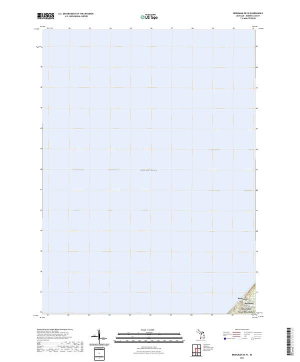
2023 Map of Bridgman OE W
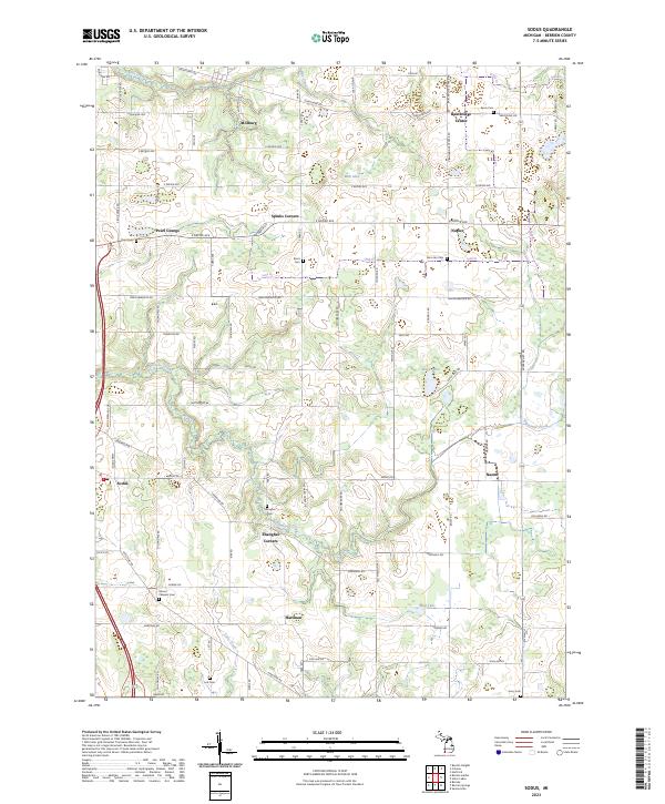
USGS Topo · Published 2023This historical map portrays the area of Bridgman OE W in 2023, primarily covering Berrien County. Featuring a scale of 1:24000, this map provides a highly detailed snapshot of the terrain, roads, buildings, counties, and historical landmarks in the Bridgman OE W region at the time. Published in 2023, it is the sole known edition of this map.
Find a feature on this map
6 named features on this map. Tap any name to fly to it.
Don’t see what you’re looking for? This feature index may not catch every label — zoom into the map to look around manually.
Map Details
Editions of this 2023 Bridgman OE W Map
This is the sole edition of this map. No revisions or reprints were ever made.
Historical Maps of Berrien County Through Time
9 maps found
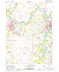
1970 New Buffalo East
Berrien County, MI
1970 New Buffalo West
Berrien County, MI
1970 Sodus
Berrien County, MI
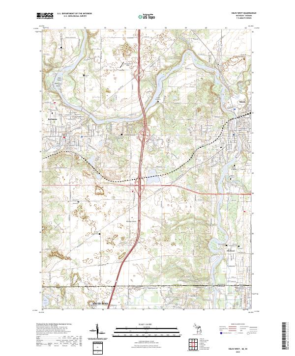
1971 Niles West
Berrien County, MI
2023 Bridgman OE W
Berrien County, MI
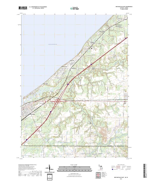
2023 New Buffalo East
Berrien County, MI
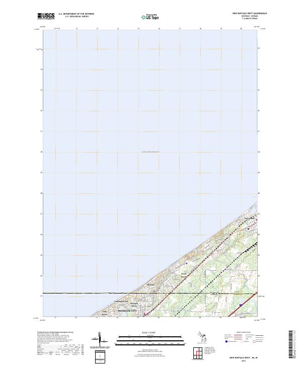
2023 New Buffalo West
Berrien County, MI
2023 Niles West
Berrien County, MI
2023 Sodus
Berrien County, MI
Featured Locations
- United States
- Berrien County, MI
- Chikaming Township, MI
- Birchwood, Chikaming Township
- Hazelhurst, Chikaming Township