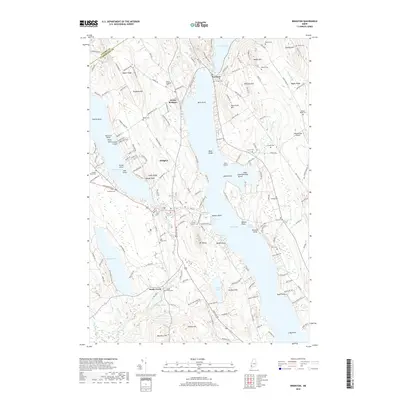
2018 Map of Bridgton
USGS Topo · Published 2018About this map
The northern reaches of Long Lake and the lakeside village of Harrison anchor this 2018 survey of the Cumberland and Oxford County border. The geography is defined by a series of long, wooded ridges such as Upper Ridge and Maple Ridge, which separate major water bodies like Highland Lake and Woods Pond. The settlement of Bridgton serves as a central hub, while smaller hamlets like North Bridgton and Sandy Creek maintain their distinct character along the western shores.
Find a feature on this map
173 named features on this map. Tap any name to fly to it.
Don’t see what you’re looking for? This feature index may not catch every label — zoom into the map to look around manually.
Map Details
Editions of this 2018 Bridgton Map
This is the sole edition of this map. No revisions or reprints were ever made.
Other maps of this area

1896 · Norway
USGS Topo · 1:62,500

1896 · Sebago
USGS Topo · 1:62,500

1909 · Fryeburg
USGS Topo · 1:62,500

1910 · Kezar Falls
USGS Topo · 1:48,000

1911 · Fryeburg
USGS Topo · 1:62,500

1911 · Kezar Falls
USGS Topo · 1:62,500

1941 · Fryeburg
USGS Topo · 1:62,500

1942 · Sebago Lake
USGS Topo · 1:62,500

1943 · Sebago Lake
USGS Topo · 1:62,500

1946 · Norway
USGS Topo · 1:62,500