
1946 Map of Norway
USGS Topo · Published 1955About this map
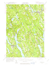
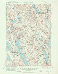
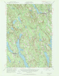
Crooked River snakes through this post-war Maine landscape, connecting a network of interior lakes and small mill-driven settlements. In the east, the Grand Trunk railway passes through the busy corridor of Norway Center and South Paris, while the western hills around Waterford and South Waterford are defined by prominent granite peaks like Mt Tire'm and Bear Mtn. The rural social fabric of the 1940s is evident in the numerous small schools and civic sites, including the Maple Ridge Sch, the Town Farm near Harrison, and the Bell Hill Meeting House. Traditional industries are still marked on the land at Scribners Mill and Bolsters Mills, reflecting an economy deeply tied to the water power of the local river systems and the timber-rich hillsides.
Find a feature on this map
125 named features on this map. Tap any name to fly to it.
Don’t see what you’re looking for? This feature index may not catch every label — zoom into the map to look around manually.
Map Details
Editions of this 1946 Norway Map
4 editions found
Other maps of this area

1894 · Gray
USGS Topo · 1:62,500

1896 · Norway
USGS Topo · 1:62,500

1896 · Sebago
USGS Topo · 1:62,500

1898 · Gray
USGS Topo · 1:62,500

1908 · Poland
USGS Topo · 1:62,500

1909 · Fryeburg
USGS Topo · 1:62,500

1910 · Kezar Falls
USGS Topo · 1:48,000

1911 · Fryeburg
USGS Topo · 1:62,500

1911 · Kezar Falls
USGS Topo · 1:62,500

1911 · Bryant Pond
USGS Topo · 1:62,500