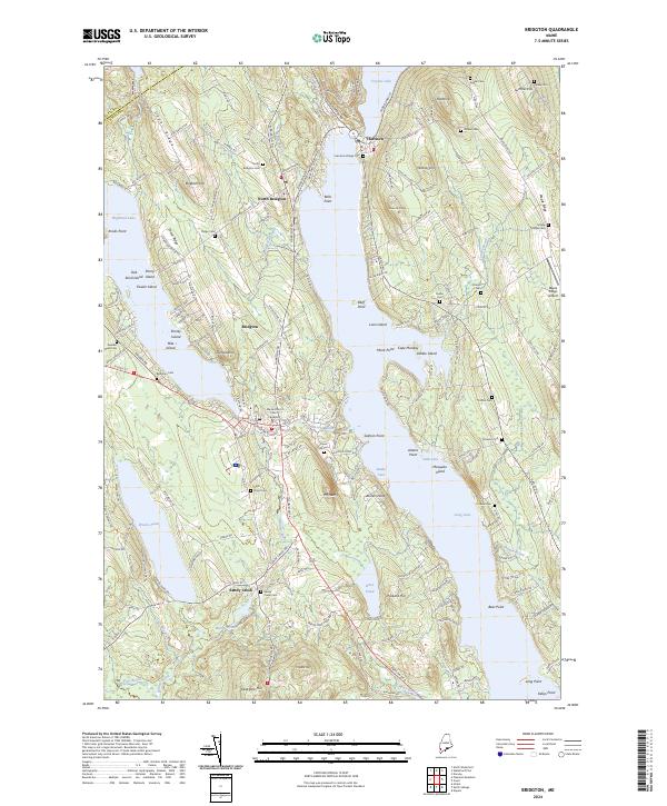
2024 Map of Bridgton
USGS Topo · Published 2024About this map
Long Lake and Highland Lake dominate this landscape in Cumberland County, framing the developed corridor between Harrison and Bridgton. The region is defined by its significant water-to-land ratio, where numerous islands like Mosquito Island, Loon Island, and Zakelo Island dot the open water. The settlement pattern follows the lake shores and ridges, with North Bridgton and Harrison Village serving as historic anchors.
Find a feature on this map
158 named features on this map. Tap any name to fly to it.
Don’t see what you’re looking for? This feature index may not catch every label — zoom into the map to look around manually.
Map Details
Editions of this 2024 Bridgton Map
This is the sole edition of this map. No revisions or reprints were ever made.
Other maps of this area

1896 · Norway
USGS Topo · 1:62,500

1896 · Sebago
USGS Topo · 1:62,500

1909 · Fryeburg
USGS Topo · 1:62,500

1910 · Kezar Falls
USGS Topo · 1:48,000

1911 · Fryeburg
USGS Topo · 1:62,500

1911 · Kezar Falls
USGS Topo · 1:62,500

1941 · Fryeburg
USGS Topo · 1:62,500

1942 · Sebago Lake
USGS Topo · 1:62,500

1943 · Sebago Lake
USGS Topo · 1:62,500

1946 · Norway
USGS Topo · 1:62,500