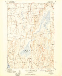
1950 Map of Bridport
USGS Topo · Published 1950About this map
Bridport and the surrounding agricultural lands of Addison County are defined by an intricate network of waterways draining toward Lake Champlain. The landscape is characterized by prominent hills, such as Saint George Hill, Hamilton Hill, and Mutton Hill, which rise above the broad valleys of the Lemon Fair River and the meandering Dead Creek. In the southern portion of the quadrangle, the expansive Cedar Swamp sits between Shoreham and the lakeshore, illustrating the low-lying terrain that historically challenged early road builders and farmers.
Find a feature on this map
35 named features on this map. Tap any name to fly to it.
Don’t see what you’re looking for? This feature index may not catch every label — zoom into the map to look around manually.
Map Details
Editions of this 1950 Bridport Map
2 editions found
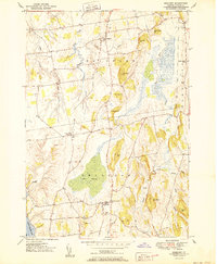
Other maps of this area

1894 · Port Henry
USGS Topo · 1:62,500

1894 · Ticonderoga
USGS Topo · 1:62,500

1896 · Ticonderoga
USGS Topo · 1:62,500

1898 · Port Henry
USGS Topo · 1:62,500

1902 · Ticonderoga
USGS Topo · 1:62,500

1902 · Brandon
USGS Topo · 1:62,500

1903 · Middlebury
USGS Topo · 1:62,500

1904 · Brandon
USGS Topo · 1:62,500

1905 · Middlebury
USGS Topo · 1:62,500

1920 · Brandon
USGS Topo · 1:62,500