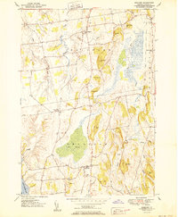
1950 Map of Bridport
USGS Topo · Published 1950About this map
The agricultural landscape of Addison County unfolds across this mid-century survey, centered on the historic town of Bridport. The terrain is characterized by a series of north-south ridges and low-lying drainage basins, including the winding course of the Lemon Fair River and the extensive Cedar Swamp. Further west, the Dead Creek system, including its West Branch and East Branch, defines the approach to Lake Champlain.
Find a feature on this map
35 named features on this map. Tap any name to fly to it.
Don’t see what you’re looking for? This feature index may not catch every label — zoom into the map to look around manually.
Map Details
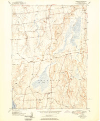
Editions of this 1950 Bridport Map
2 editions found
Other maps of this area

1894 · Port Henry
USGS Topo · 1:62,500

1894 · Ticonderoga
USGS Topo · 1:62,500

1896 · Ticonderoga
USGS Topo · 1:62,500

1898 · Port Henry
USGS Topo · 1:62,500

1902 · Ticonderoga
USGS Topo · 1:62,500

1902 · Brandon
USGS Topo · 1:62,500

1903 · Middlebury
USGS Topo · 1:62,500

1904 · Brandon
USGS Topo · 1:62,500

1905 · Middlebury
USGS Topo · 1:62,500

1920 · Brandon
USGS Topo · 1:62,500