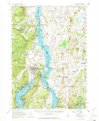
1950 Map of Ticonderoga
USGS Topo · Published 1971About this map
Fort Ticonderoga and the strategic narrows of Lake Champlain anchor this mid-century topographic survey of the borderlands between New York and Vermont. The landscape is defined by the historic military geography of the Lake Champlain-Lake George corridor, where the Delaware and Hudson RR traces the western shore and the Rutland RR serves the Vermont interior. Beyond the military sites, the map details a settled rural economy represented by numerous small hamlets like Crown Point Center, West Bridport, and Street Road.
Find a feature on this map
183 named features on this map. Tap any name to fly to it.
Don’t see what you’re looking for? This feature index may not catch every label — zoom into the map to look around manually.
Map Details
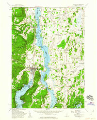
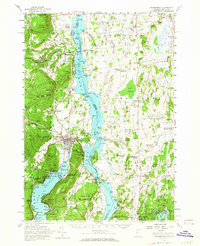
Editions of this 1950 Ticonderoga Map
3 editions found
Other maps of this area

1893 · Whitehall
USGS Topo · 1:62,500

1894 · Elizabethtown
USGS Topo · 1:62,500

1894 · Port Henry
USGS Topo · 1:62,500

1894 · Ticonderoga
USGS Topo · 1:62,500

1895 · Whitehall
USGS Topo · 1:62,500

1895 · Elizabethtown
USGS Topo · 1:62,500

1895 · Paradox Lake
USGS Topo · 1:62,500

1895 · Castleton
USGS Topo · 1:62,500

1896 · Ticonderoga
USGS Topo · 1:62,500

1897 · Bolton
USGS Topo · 1:62,500