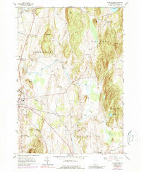
1963 Map of Monkton Boro
USGS Topo · Published 1990About this map
Monkton Boro and the surrounding townships in Addison County showcase a landscape of mid-century Vermont defined by small dairy farming communities and deep-rooted family history. The sheet is exceptionally dense with small family and community burial grounds, such as Quaker Cem, Collins Cem, and the Old Quaker Cem, reflecting the early 19th-century settlement patterns of the Friends and other early residents near Lewis Creek.
Find a feature on this map
43 named features on this map. Tap any name to fly to it.
Don’t see what you’re looking for? This feature index may not catch every label — zoom into the map to look around manually.
Map Details
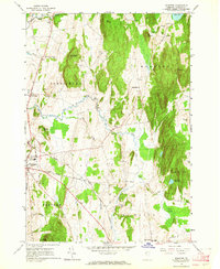
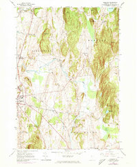
Editions of this 1963 Monkton Boro Map
3 editions found
Other maps of this area

1894 · Port Henry
USGS Topo · 1:62,500

1895 · Willsboro
USGS Topo · 1:62,500

1898 · Port Henry
USGS Topo · 1:62,500

1903 · Middlebury
USGS Topo · 1:62,500

1905 · Middlebury
USGS Topo · 1:62,500

1906 · Burlington
USGS Topo · 1:62,500

1919 · Burlington
USGS Topo · 1:62,500

1920 · Middlebury
USGS Topo · 1:62,500

1941 · Willsboro
USGS Topo · 1:62,500

1943 · Willsboro
USGS Topo · 1:62,500