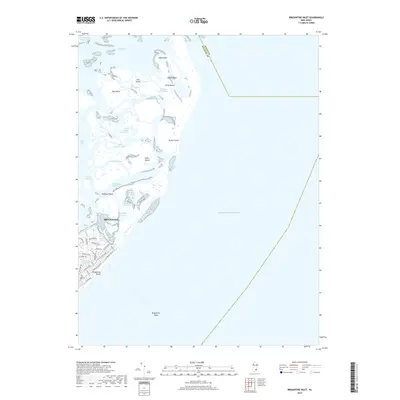
2019 Map of Brigantine Inlet
USGS Topo · Published 2019About this map
The coastal environment of Atlantic County unfolds across this 2019 survey, centered on the complex salt marshes and barrier islands north of Brigantine. This maritime landscape is defined by a dense network of tidal channels known locally as thorofares, including Mile Thorofare, Cabbage Thorofare, and Weakfish Thorofare. These waterways separate low-lying land masses like Egg Island, Salt Island, and Pullen Island from the mainland, illustrating the dynamic hydrology of the Intracoastal Waterway as it passes through Great Bay.
Find a feature on this map
52 named features on this map. Tap any name to fly to it.
Don’t see what you’re looking for? This feature index may not catch every label — zoom into the map to look around manually.
Map Details
Editions of this 2019 Brigantine Inlet Map
This is the sole edition of this map. No revisions or reprints were ever made.
Other maps of this area

1887 · Atlantic City
USGS Topo · 1:62,500

1888 · Little Egg Harbor
USGS Topo · 1:62,500

1888 · Long Beach
USGS Topo · 1:62,500

1893 · Little Egg Harbor
USGS Topo · 1:62,500

1893 · Long Beach
USGS Topo · 1:62,500

1894 · Atlantic City
USGS Topo · 1:62,500

1919 · Long Beach
USGS Topo · 1:62,500

1920 · Little Egg Harbor
USGS Topo · 1:62,500

1940 · Atlantic City
USGS Topo · 1:62,500
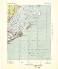
1941 · Atlantic City
USGS Topo · 1:62,500
Featured Places
- Galloway Township, NJ
- Little Egg Harbor Township, NJ
- Brigantine, NJ
- Ocean County, NJ
- Atlantic County, NJ