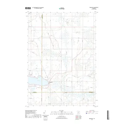
2018 Map of Briggsville
USGS Topo · Published 2018About this map
Briggsville sits at the heart of this landscape, positioned where the waters of Mason Lake and McCall Lake meet the meandering course of Neenah Creek. The map documents a complex wetland environment in the late 2010s, defined by the South Branch Neenah Creek and numerous smaller water bodies such as Amey Pond and Mud Lake. This area marks the intersection of three counties—Adams, Marquette, and Columbia—demonstrating how administrative boundaries often follow these watery transition zones.
Find a feature on this map
65 named features on this map. Tap any name to fly to it.
Don’t see what you’re looking for? This feature index may not catch every label — zoom into the map to look around manually.
Map Details
Editions of this 2018 Briggsville Map
This is the sole edition of this map. No revisions or reprints were ever made.
Other maps of this area

1902 · Portage
USGS Topo · 1:62,500

1902 · Briggsville
USGS Topo · 1:62,500

1957 · Madison
USGS Topo · 1:250,000

1958 · Briggsville
USGS Topo · 1:62,500

1960 · Madison
USGS Topo · 1:250,000

1961 · Oxford
USGS Topo · 1:62,500

1961 · Montello
USGS Topo · 1:62,500

1962 · Portage
USGS Topo · 1:62,500
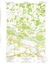
1975 · Pine Island
USGS Topo · 1:24,000
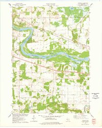
1975 · Lewiston
USGS Topo · 1:24,000