
1975 Map of Briggsville
USGS Topo · Published 1978About this map
Briggsville sits at the junction of several vital waterways in this mid-1970s survey, where the South Branch Neenah Creek flows from the eastern end of Mason Lake. The surrounding landscape is a complex network of glacial topography, featuring numerous kettle lakes and marshes such as Amey Pond, Little Lake, and McCall Lake. Evidence of the local dairy economy is preserved with the sighting of a Cheese Factory south of the main settlement near Greenwood Cem.
Find a feature on this map
37 named features on this map. Tap any name to fly to it.
Don’t see what you’re looking for? This feature index may not catch every label — zoom into the map to look around manually.
Map Details
Editions of this 1975 Briggsville Map
This is the sole edition of this map. No revisions or reprints were ever made.
Other maps of this area

1902 · Portage
USGS Topo · 1:62,500

1902 · Briggsville
USGS Topo · 1:62,500

1957 · Madison
USGS Topo · 1:250,000

1958 · Briggsville
USGS Topo · 1:62,500

1960 · Madison
USGS Topo · 1:250,000

1961 · Oxford
USGS Topo · 1:62,500

1961 · Montello
USGS Topo · 1:62,500

1962 · Portage
USGS Topo · 1:62,500
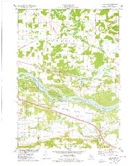
1975 · Pine Island
USGS Topo · 1:24,000
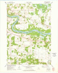
1975 · Lewiston
USGS Topo · 1:24,000