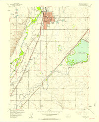
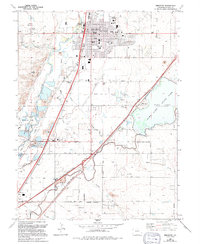
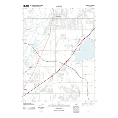
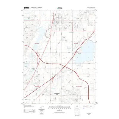
1940 Map of Brighton
USGS Topo · Published 1940About this map
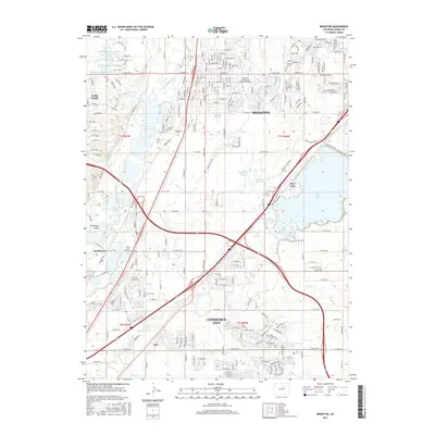
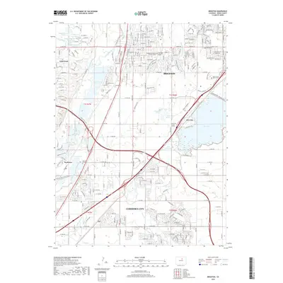
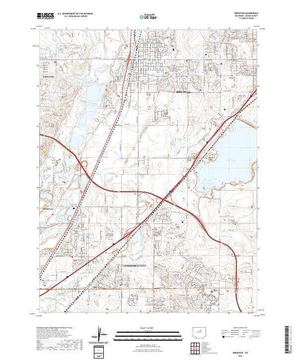
Agricultural development and water management define the landscape around Brighton just before the mid-twentieth century. The South Platte River winds through the western half of the map, supporting a complex network of ditches and reservoirs such as Barr Lake (Reservoir) and the Stauffer Reservoirs. The presence of the Denver Poor Farm and the Fairgrounds south of the city indicates the region's communal and civic growth. Transportation is anchored by the Union Pacific and the Chicago Burlington and Quincy railroads, which facilitated the movement of goods from local stops like Henderson Sta and Barr Sta. For genealogists, the map identifies specific local institutions including the Pleasant Plains Sch, Cactus Ridge School, and burial sites such as Elmwood Cemetery and Black Cem.
Find a feature on this map
37 named features on this map. Tap any name to fly to it.
Don’t see what you’re looking for? This feature index may not catch every label — zoom into the map to look around manually.
Map Details
Editions of this 1940 Brighton Map
This is the sole edition of this map. No revisions or reprints were ever made.
Historical Maps of Commerce City Through Time
9 maps found