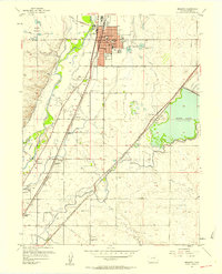
1957 Map of Brighton
USGS Topo · Published 1958About this map
The South Platte River and its intricate network of irrigation canals define the landscape of Adams County in the mid-1950s. The city of Brighton serves as the regional hub, anchored by its High Sch and Jr High Sch, alongside the County Fairground and Athletic Field. This era shows a community deeply tied to both the water and the rails, with the Union Pacific line providing critical transport links through Henderson Siding and Hazeltine Siding.
Find a feature on this map
48 named features on this map. Tap any name to fly to it.
Don’t see what you’re looking for? This feature index may not catch every label — zoom into the map to look around manually.
Map Details
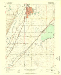
Editions of this 1957 Brighton Map
2 editions found
Other maps of this area

1890 · East Denver
USGS Topo · 1:125,000

1902 · Greeley
USGS Topo · 1:125,000

1938 · Derby
USGS Topo · 1:24,000

1938 · Long Branch
USGS Topo · 1:24,000

1940 · Brighton
USGS Topo · 1:31,680

1940 · Eastlake
USGS Topo · 1:31,680

1940 · Derby
USGS Topo · 1:31,680

1941 · Long Branch
USGS Topo · 1:31,680

1942 · Mile High Lakes
USGS Topo · 1:31,680

1942 · Box Elder School
USGS Topo · 1:31,680