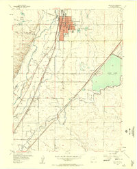
1957 Map of Brighton
USGS Topo · Published 1958About this map
The South Platte River corridor north of Denver is defined here by an intricate web of irrigation and transport, captured just as mid-century agricultural patterns remained dominant. The city of Brighton serves as the regional anchor, featuring its County Fairground, High School, and Brighton Cemetery alongside the vital Union Pacific rail line. To the south, smaller railway-adjacent communities like Henderson and industrial points such as Henderson Siding and Hazeltine Siding demonstrate the reliance on rail for moving goods through the valley.
Find a feature on this map
47 named features on this map. Tap any name to fly to it.
Don’t see what you’re looking for? This feature index may not catch every label — zoom into the map to look around manually.
Map Details
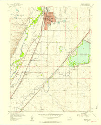
Editions of this 1957 Brighton Map
2 editions found
Other maps of this area

1890 · East Denver
USGS Topo · 1:125,000

1902 · Greeley
USGS Topo · 1:125,000

1938 · Derby
USGS Topo · 1:24,000

1938 · Long Branch
USGS Topo · 1:24,000

1940 · Brighton
USGS Topo · 1:31,680

1940 · Eastlake
USGS Topo · 1:31,680

1940 · Derby
USGS Topo · 1:31,680

1941 · Long Branch
USGS Topo · 1:31,680

1942 · Mile High Lakes
USGS Topo · 1:31,680

1942 · Box Elder School
USGS Topo · 1:31,680