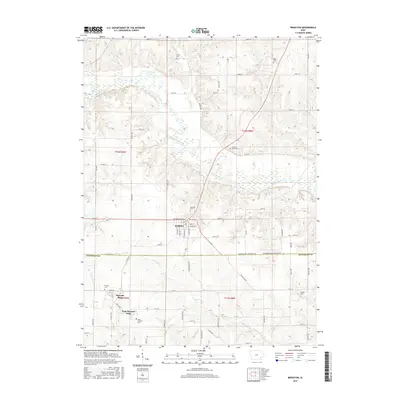
2015 Map of Brighton
USGS Topo · Published 2015About this map
Brighton serves as the central hub of this Iowa landscape, where the town grid meets the winding course of the Skunk River. This 2015 U.S. Geological Survey representation reveals a region defined by its rural intersections and family burial grounds, such as Gatlin Cem and Miller Cem in the north. The geography is tied together by numerous watercourses including Indian Cr and Walnut Cr, which drain the agricultural uplands into the river valley.
Find a feature on this map
66 named features on this map. Tap any name to fly to it.
Don’t see what you’re looking for? This feature index may not catch every label — zoom into the map to look around manually.
Map Details
Editions of this 2015 Brighton Map
This is the sole edition of this map. No revisions or reprints were ever made.
Other maps of this area

1958 · Davenport
USGS Topo · 1:250,000

1961 · Davenport
USGS Topo · 1:250,000

1962 · Davenport
USGS Topo · 1:250,000

1969 · Washington
USGS Topo · 1:24,000
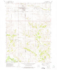
1973 · Keota
USGS Topo · 1:24,000

1973 · West Chester
USGS Topo · 1:24,000
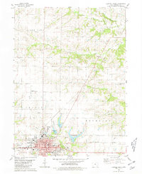
1980 · Fairfield North
USGS Topo · 1:24,000
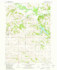
1980 · Richland
USGS Topo · 1:24,000

1980 · Brighton
USGS Topo · 1:24,000

1980 · Trenton
USGS Topo · 1:24,000