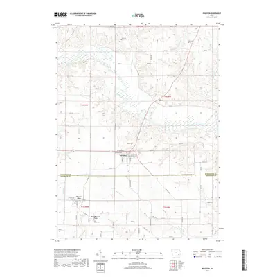
2018 Map of Brighton
USGS Topo · Published 2018About this map
The Skunk River meanders across this landscape, dividing the agricultural uplands of Brighton from the smaller communities to the south. This 2018 survey documents a region defined by its religious and pioneer heritage, evidenced by the high density of rural burial grounds scattered throughout the township. Genealogists will find several notable sites including Friends Cem and Saint Josephs Cem near Pleasant Plain, as well as Sandy Hook Cem overlooking the river valley. The settlement pattern follows a grid of secondary roads like Ginkgo Ave and Germanville Rd, which connect isolated farmsteads to the central hub of Brighton. Natural features like Wallrich Lake and Indian Cr provide drainage for the surrounding fields, while the southern portion of the map transitions across the Washington Co Jefferson Co line into East Pleasant Plain.
Find a feature on this map
70 named features on this map. Tap any name to fly to it.
Don’t see what you’re looking for? This feature index may not catch every label — zoom into the map to look around manually.
Map Details
Editions of this 2018 Brighton Map
This is the sole edition of this map. No revisions or reprints were ever made.
Other maps of this area

1958 · Davenport
USGS Topo · 1:250,000

1961 · Davenport
USGS Topo · 1:250,000

1962 · Davenport
USGS Topo · 1:250,000

1969 · Washington
USGS Topo · 1:24,000
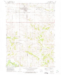
1973 · Keota
USGS Topo · 1:24,000

1973 · West Chester
USGS Topo · 1:24,000
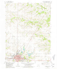
1980 · Fairfield North
USGS Topo · 1:24,000
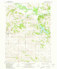
1980 · Richland
USGS Topo · 1:24,000

1980 · Brighton
USGS Topo · 1:24,000

1980 · Trenton
USGS Topo · 1:24,000