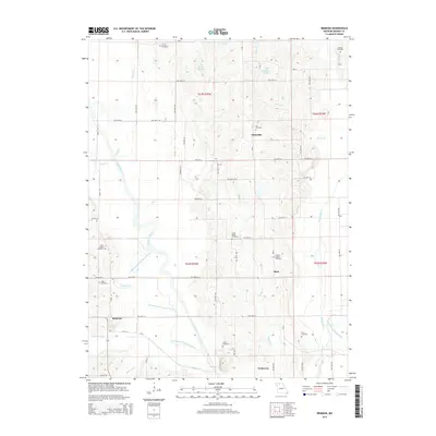
2014 Map of Brimson
USGS Topo · Published 2014About this map
Brimson anchors the southwestern portion of this Grundy County landscape, where the Thompson River and its multiple former courses, including the Old Channel Thompson River, dominate the riverine topography. The map illustrates a complex drainage system featuring Middle Cr, Muddy Cr, and Lost Cr, highlighting the hydrologic character of the region. Small agricultural settlements and community hubs like Buttsville, Shott, and Parkerton are distributed across the township lines of T62N and T63N.
Find a feature on this map
60 named features on this map. Tap any name to fly to it.
Don’t see what you’re looking for? This feature index may not catch every label — zoom into the map to look around manually.
Map Details
Editions of this 2014 Brimson Map
This is the sole edition of this map. No revisions or reprints were ever made.
Other maps of this area

1925 · Gilman
USGS Topo · 1:62,500

1946 · Gilman
USGS Topo · 1:48,000

1946 · Princeton
USGS Topo · 1:62,500

1947 · Blythedale
USGS Topo · 1:62,500

1948 · Gilman
USGS Topo · 1:62,500

1948 · Princeton
USGS Topo · 1:62,500

1948 · Trenton
USGS Topo · 1:62,500

1954 · Centerville
USGS Topo · 1:250,000

1957 · Centerville
USGS Topo · 1:250,000

1958 · Centerville
USGS Topo · 1:250,000