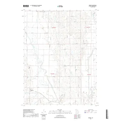
2017 Map of Brimson
USGS Topo · Published 2017About this map
Brimson anchors this rural landscape in Grundy County, where the meandering Thompson River and its various tributaries define the local geography. The map reveals the evolution of the riverbed through labels like the Old Channel Thompson River, showing where the waterway was once straightened or redirected to manage the fertile bottomlands. This area is heavily dotted with family and community burial grounds, such as Griffin Cem, Fox Cem, and Sires Cem, which serve as vital markers for genealogists tracing local lineage. The presence of Willis Chapel Cem and Hatton Chapel Cem suggests the historical locations of rural congregations that once formed the social fabric of this farming region. Beyond the primary river, the terrain is carved by smaller streams including Cattail Cr, Furnace Cr, and Sugar Creek, while Dolan Lake and Stamper Pond provide managed water sources for the surrounding agricultural tracts.
Find a feature on this map
51 named features on this map. Tap any name to fly to it.
Don’t see what you’re looking for? This feature index may not catch every label — zoom into the map to look around manually.
Map Details
Editions of this 2017 Brimson Map
This is the sole edition of this map. No revisions or reprints were ever made.
Other maps of this area

1925 · Gilman
USGS Topo · 1:62,500

1946 · Gilman
USGS Topo · 1:48,000

1946 · Princeton
USGS Topo · 1:62,500

1947 · Blythedale
USGS Topo · 1:62,500

1948 · Gilman
USGS Topo · 1:62,500

1948 · Princeton
USGS Topo · 1:62,500

1948 · Trenton
USGS Topo · 1:62,500

1954 · Centerville
USGS Topo · 1:250,000

1957 · Centerville
USGS Topo · 1:250,000

1958 · Centerville
USGS Topo · 1:250,000