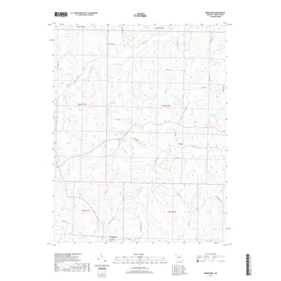
2017 Map of Brinktown
USGS Topo · Published 2017About this map
Brinktown sits at the southern edge of this Maries County landscape, anchored by the Guardian Angel Cem. The terrain is defined by the winding paths of the Little Maries River and the Maries River, which flow through a network of hollows fed by numerous smaller streams like Rodgers Cr and Mag Cr. The settlement of Venus appears near the confluence of several creeks in the eastern portion of the survey, connected by a network of rural routes including Maries Road 612 and State Hwy T. Small impoundments like Number 68 Lake, Peter Markuly Lake, and Charwood Lake are scattered across the higher ground between the river valleys. This 2017 data reflects the modern rural character of the region, where family-named roads and remote water bodies like Krone Br and Keiser Br suggest a long-established pattern of land use and navigation within the Ozark foothills.
Find a feature on this map
42 named features on this map. Tap any name to fly to it.
Don’t see what you’re looking for? This feature index may not catch every label — zoom into the map to look around manually.
Map Details
Editions of this 2017 Brinktown Map
This is the sole edition of this map. No revisions or reprints were ever made.
Other maps of this area

1888 · Tuscumbia
USGS Topo · 1:125,000

1894 · Tuscumbia
USGS Topo · 1:125,000

1934 · Linn
USGS Topo · 1:48,000

1937 · Vienna
USGS Topo · 1:62,500

1938 · Vienna
USGS Topo · 1:48,000

1942 · Linn
USGS Topo · 1:62,500

1945 · Linn
USGS Topo · 1:62,500

1947 · Jefferson City
USGS Topo · 1:250,000

1948 · Meta
USGS Topo · 1:62,500

1948 · Tavern
USGS Topo · 1:62,500