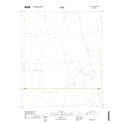
2019 Map of Brinson Ranch
USGS Topo · Published 2019About this map
Monument Draw cuts an east-west path through this West Texas landscape, defining the topography of a region primarily characterized by ranching and rural infrastructure. The map depicts the contemporary boundary between Gaines Co and Andrews Co, a vital reference for local land records and historical property research. The namesake Brinson Ranch sits in the eastern portion of the quadrangle, connected by a network of county roads including Co Rd 337 and Co Rd 320. These routes, along with Nadine Rd in the north, illustrate the modern grid system that supports the area's agricultural and energy-related movement. While the terrain appears subtle, the detailed contouring reveals the depressions and elevations surrounding the draw, providing a clear picture of the drainage patterns in this corner of the Permian Basin.
Find a feature on this map
13 named features on this map. Tap any name to fly to it.
Don’t see what you’re looking for? This feature index may not catch every label — zoom into the map to look around manually.
Map Details
Editions of this 2019 Brinson Ranch Map
This is the sole edition of this map. No revisions or reprints were ever made.
Other maps of this area

1954 · Hobbs
USGS Topo · 1:250,000

1958 · Hobbs
USGS Topo · 1:250,000

1969 · Hobbs East
USGS Topo · 1:24,000

1969 · Hobbs SE
USGS Topo · 1:24,000

1969 · Eunice NE
USGS Topo · 1:24,000

1971 · Paynes Corner
USGS Topo · 1:24,000

1971 · Brinson Ranch
USGS Topo · 1:24,000

1971 · Paynes Corner SE
USGS Topo · 1:24,000

1971 · Frankel City
USGS Topo · 1:24,000

1971 · Jumbo Hill
USGS Topo · 1:24,000