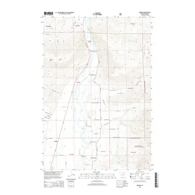
2014 Map of Brisbin
USGS Topo · Published 2014About this map
The Yellowstone River anchors this landscape, flowing through the heart of Paradise Valley and past the community of Brisbin. This 2014 survey captures a mix of residential growth and established agricultural lands, with numerous local roads like Country Living Ln and Renaissance Ranch Rd branching off the primary corridors. To the west, the elevations rise sharply toward Wineglass Mtn and Canyon Mtn, while the eastern boundary is defined by the protected acreage of the Gallatin National Forest.
Find a feature on this map
58 named features on this map. Tap any name to fly to it.
Don’t see what you’re looking for? This feature index may not catch every label — zoom into the map to look around manually.
Map Details
Editions of this 2014 Brisbin Map
This is the sole edition of this map. No revisions or reprints were ever made.
Other maps of this area

1891 · Livingston
USGS Topo · 1:250,000

1893 · Livingston
USGS Topo · 1:250,000

1940 · Mt. Cowen
USGS Topo · 1:62,500

1943 · Mt Cowen
USGS Topo · 1:62,500

1947 · Bozeman
USGS Topo · 1:250,000

1948 · Bozeman
USGS Topo · 1:250,000

1951 · Brisbin
USGS Topo · 1:24,000

1951 · Hoppers
USGS Topo · 1:24,000

1951 · Livingston Peak
USGS Topo · 1:24,000

1951 · Chimney Rock
USGS Topo · 1:24,000