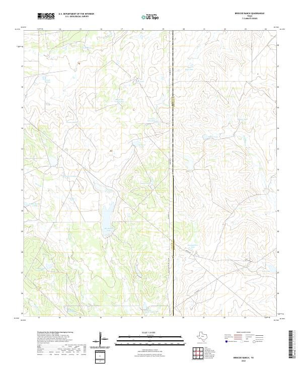
2022 Map of Briscoe Ranch
USGS Topo · Published 2022About this map
The La Salle Co McMullen Co line bisects this landscape, marking a rural South Texas terrain dominated by ephemeral drainages and a network of named stock tanks. Water management is the primary defining feature of the area, as seen in the distribution of seasonal catchments like Big Alamo Tank and the smaller Little Alamo Tank. The naming conventions reflect a deep cultural history, with labels such as Tanque Las Tres Puertas, Tanque Escondido, and Tanque Noche Triste suggesting a long-standing Spanish and Mexican ranching influence. The presence of Oil Wells Tank indicates the intersection of traditional cattle ranching with the region's energy resources. Development is minimal, centered on isolated ranch infrastructure like Headquarters Tank and connected by unpaved corridors such as Cameron Ln and Martin Rd.
Find a feature on this map
30 named features on this map. Tap any name to fly to it.
Don’t see what you’re looking for? This feature index may not catch every label — zoom into the map to look around manually.
Map Details
Editions of this 2022 Briscoe Ranch Map
This is the sole edition of this map. No revisions or reprints were ever made.
Other maps of this area

1930 · Tilden
USGS Topo · 1:62,500

1937 · Loma Alta
USGS Topo · 1:62,500

1942 · Fowlerton
USGS Topo · 1:62,500

1942 · Tilden
USGS Topo · 1:62,500

1953 · Crystal City
USGS Topo · 1:250,000

1955 · Crystal City
USGS Topo · 1:250,000

1956 · Piedra Creek
USGS Topo · 1:62,500

1956 · Fowlerton
USGS Topo · 1:62,500

1961 · Crystal City
USGS Topo · 1:250,000

1968 · Crystal City
USGS Topo · 1:250,000