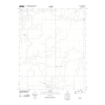
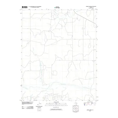
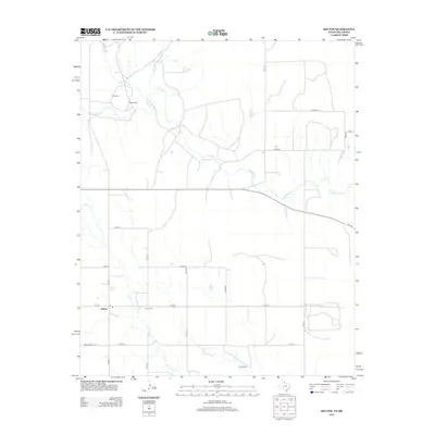
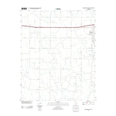
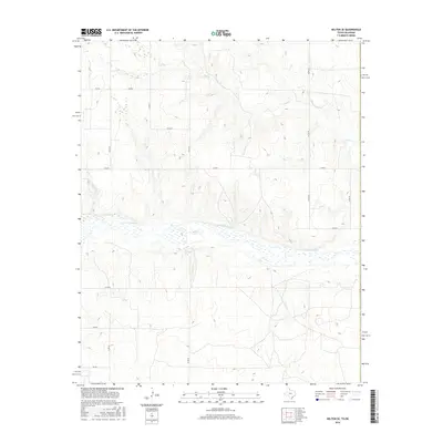
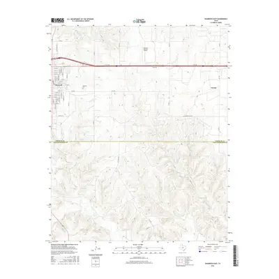
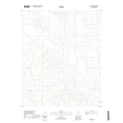
2022 Map of Briscoe
USGS Topo · Published 2022About this map
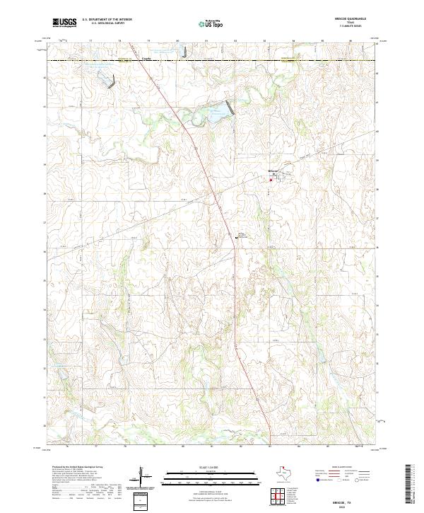
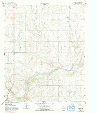
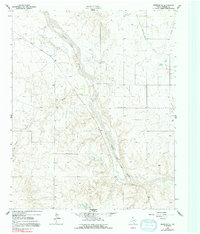
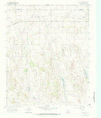
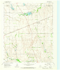
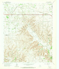
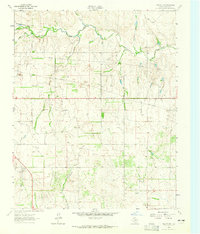
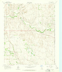
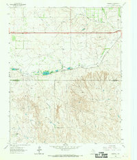
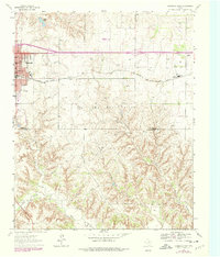
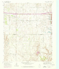
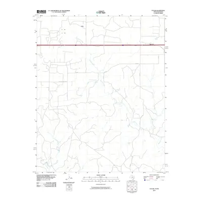
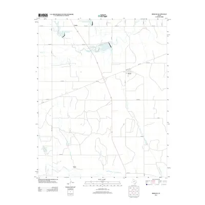
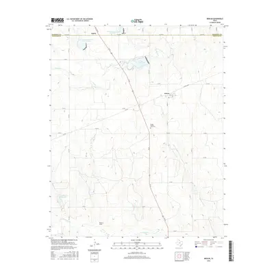
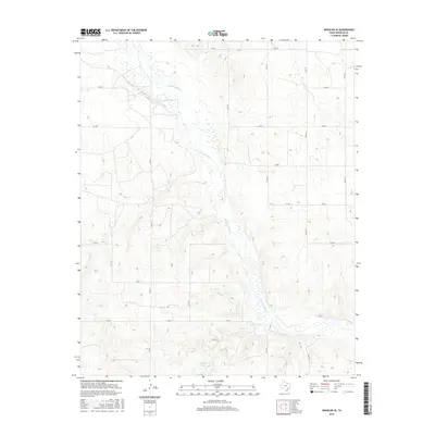
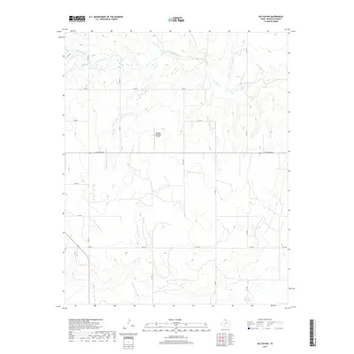
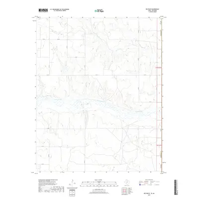
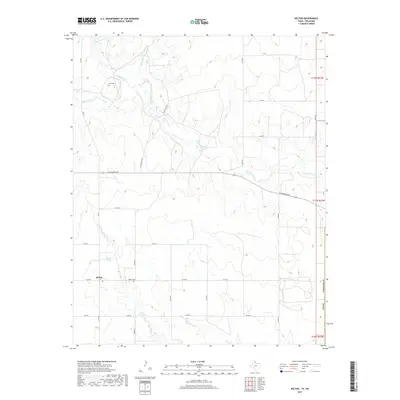
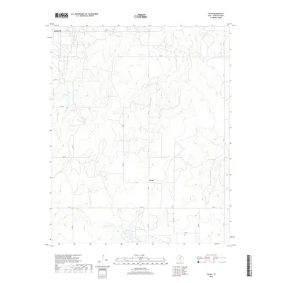
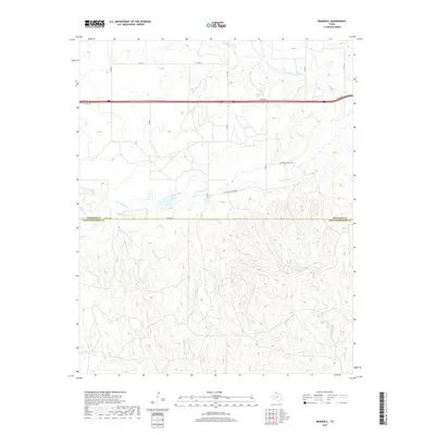
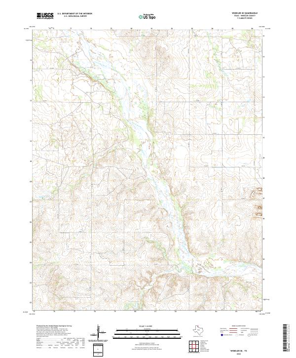
Briscoe and Gageby anchor this portion of the Texas Panhandle, positioned along the high plains where the landscape is defined by the headwaters of the Red River drainage system. The terrain is marked by significant erosion features such as Osburn Draw and the various branches of Gageby Cr, which wind through the open ranch land. Water management is a primary focus of the landscape’s development, evidenced by the Soil Conservation Service Site 22 Reservoir and the Soil Conservation Service Site 20 Reservoir, alongside Lake Fensterwald. For local historians and genealogists, the George Turcotte Family Cem remains a notable landmark of family heritage in this rural expanse. The map also traces the drainage patterns of Sweetwater Cr and Jenkins-Jones Cr as they cut through the plateau near the Hemphill and Wheeler County line.
Find a feature on this map
35 named features on this map. Tap any name to fly to it.
Don’t see what you’re looking for? This feature index may not catch every label — zoom into the map to look around manually.
Map Details
Editions of this 2022 Briscoe Map
This is the sole edition of this map. No revisions or reprints were ever made.
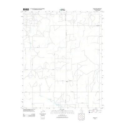
Historical Maps of Gageby Through Time
78 maps found
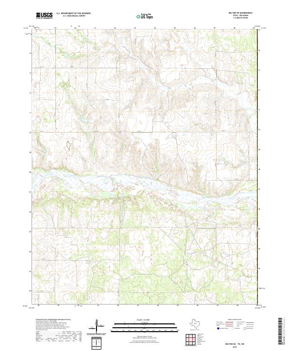
1962 Kelton SE
Wheeler County, TX
1962 Pakan
Wheeler County, TX
1962 Spring Creek
Wheeler County, TX
1962 Twitty
Wheeler County, TX
1962 Wheeler SE
Wheeler County, TX
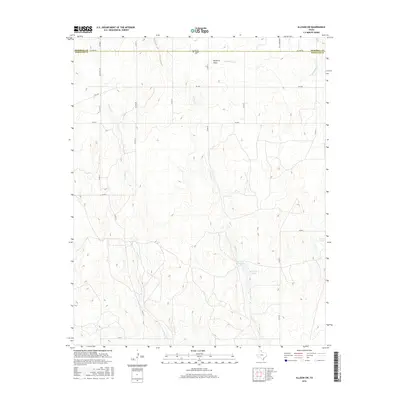
1963 Allison SW
Wheeler County, TX
1963 Briscoe
Wheeler County, TX
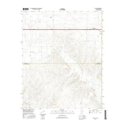
1963 Fulller
Wheeler County, TX
1963 Kelton NW
Wheeler County, TX
1963 Kelton
Wheeler County, TX
1963 Ramsdell
Wheeler County, TX
1963 Shamrock East
Wheeler County, TX
1963 Shamrock West
Wheeler County, TX
2010 Allison SW
Wheeler County, TX
2010 Briscoe
Wheeler County, TX
2010 Fuller
Wheeler County, TX
2010 Kelton NW
Wheeler County, TX
2010 Kelton SE
Wheeler County, TX
2010 Kelton
Wheeler County, TX
2010 Pakan
Wheeler County, TX
2010 Ramsdell
Wheeler County, TX
2010 Shamrock East
Wheeler County, TX
2010 Shamrock West
Wheeler County, TX
2010 Spring Creek
Wheeler County, TX
2010 Twitty
Wheeler County, TX
2010 Wheeler SE
Wheeler County, TX
2012 Allison SW
Wheeler County, TX
2012 Briscoe
Wheeler County, TX
2012 Fuller
Wheeler County, TX
2012 Kelton NW
Wheeler County, TX
2012 Kelton SE
Wheeler County, TX
2012 Kelton
Wheeler County, TX
2012 Pakan
Wheeler County, TX
2012 Ramsdell
Wheeler County, TX
2012 Shamrock East
Wheeler County, TX
2012 Shamrock West
Wheeler County, TX
2012 Spring Creek
Wheeler County, TX
2012 Twitty
Wheeler County, TX
2012 Wheeler SE
Wheeler County, TX
2016 Allison SW
Wheeler County, TX
2016 Briscoe
Wheeler County, TX
2016 Fuller
Wheeler County, TX
2016 Kelton NW
Wheeler County, TX
2016 Kelton SE
Wheeler County, TX
2016 Kelton
Wheeler County, TX
2016 Pakan
Wheeler County, TX
2016 Ramsdell
Wheeler County, TX
2016 Shamrock East
Wheeler County, TX
2016 Shamrock West
Wheeler County, TX
2016 Spring Creek
Wheeler County, TX
2016 Twitty
Wheeler County, TX
2016 Wheeler SE
Wheeler County, TX
2019 Allison SW
Wheeler County, TX
2019 Briscoe
Wheeler County, TX
2019 Fuller
Wheeler County, TX
2019 Kelton NW
Wheeler County, TX
2019 Kelton SE
Wheeler County, TX
2019 Kelton
Wheeler County, TX
2019 Pakan
Wheeler County, TX
2019 Ramsdell
Wheeler County, TX

2019 Shamrock East
Wheeler County, TX
2019 Shamrock West
Wheeler County, TX
2019 Spring Creek
Wheeler County, TX
2019 Twitty
Wheeler County, TX
2019 Wheeler SE
Wheeler County, TX
2022 Allison SW
Wheeler County, TX
2022 Briscoe
Wheeler County, TX
2022 Fuller
Wheeler County, TX
2022 Kelton NW
Wheeler County, TX
2022 Kelton SE
Wheeler County, TX
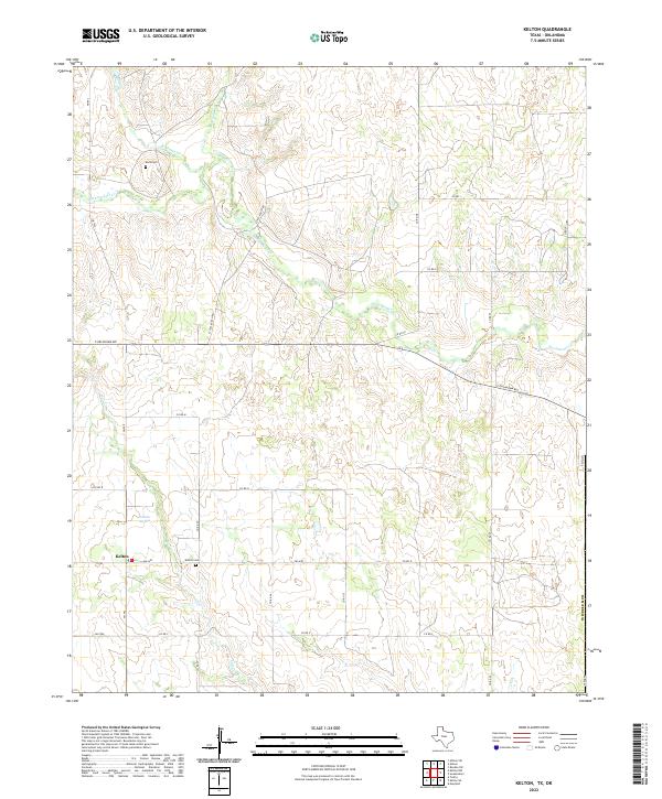
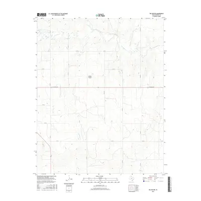
2022 Kelton
Wheeler County, TX
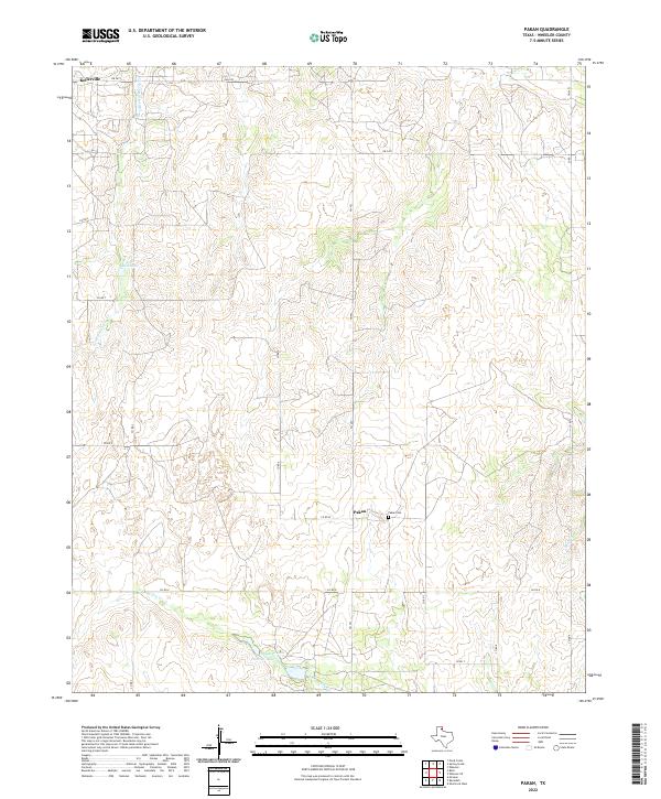
2022 Pakan
Wheeler County, TX
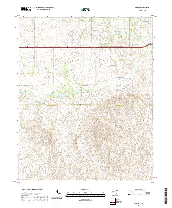
2022 Ramsdell
Wheeler County, TX
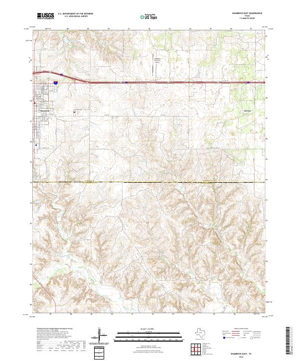
2022 Shamrock East
Wheeler County, TX
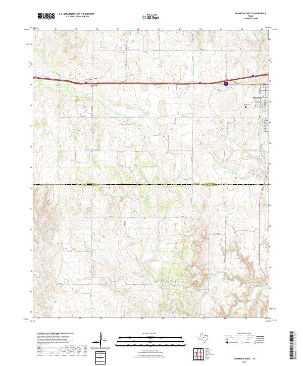
2022 Shamrock West
Wheeler County, TX
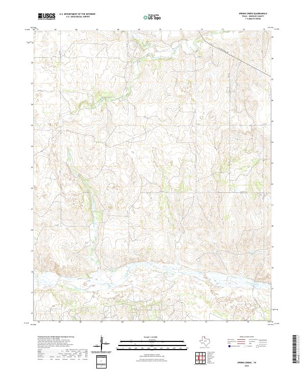
2022 Spring Creek
Wheeler County, TX
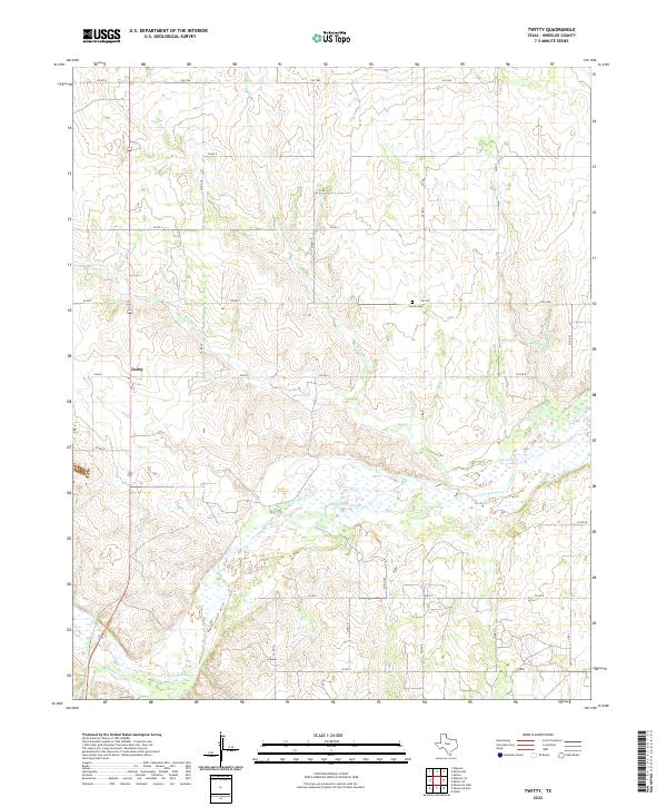
2022 Twitty
Wheeler County, TX
2022 Wheeler SE
Wheeler County, TX