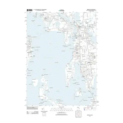
2012 Map of Bristol
USGS Topo · Published 2012About this map
The Bristol Waterfront Historic District anchors this coastal survey, where the deep waters of Narragansett Bay meet the industrial and maritime heritage of Rhode Island's eastern shore. The geography is defined by a series of prominent peninsulas including Rumstick Neck and Poppasquash Point, which shelter working harbors and residential enclaves like West Barrington and Warren. Inland, the landscape is punctuated by historical sites such as the Coggeshall Farm Museum and several notable burial grounds, including the East Burial Ground and Princes Hill Cem.
Find a feature on this map
279 named features on this map. Tap any name to fly to it.
Don’t see what you’re looking for? This feature index may not catch every label — zoom into the map to look around manually.
Map Details
Editions of this 2012 Bristol Map
This is the sole edition of this map. No revisions or reprints were ever made.
Other maps of this area

1885 · Taunton
USGS Topo · 1:62,500

1887 · Providence
USGS Topo · 1:62,500
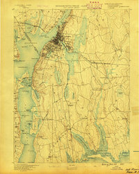
1888 · Fall River
USGS Topo · 1:62,500

1888 · Taunton
USGS Topo · 1:62,500

1889 · Providence
USGS Topo · 1:62,500
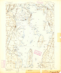
1890 · Narragansett Bay
USGS Topo · 1:62,500
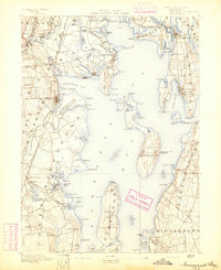
1892 · Narragansett Bay
USGS Topo · 1:62,500

1893 · Taunton
USGS Topo · 1:62,500
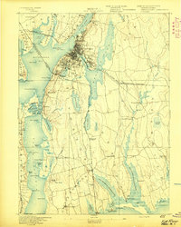
1893 · Fall River
USGS Topo · 1:62,500
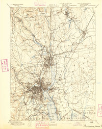
1894 · Providence
USGS Topo · 1:62,500