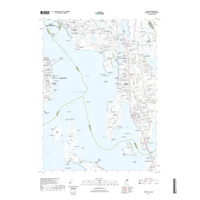
2018 Map of Bristol
USGS Topo · Published 2018About this map
Bristol and Warren define this coastal Rhode Island landscape, where the confluence of the Barrington River, Palmer River, and Warren River shapes a complex shoreline of points and necks. The map highlights the area's rich institutional and civic history, anchored by the Roger Williams Univ campus near the iconic Mount Hope Bridge. Significant land use patterns are visible, from the residential grids of West Barrington and East Warren to the preserved coastal lands of Colt State Park.
Find a feature on this map
245 named features on this map. Tap any name to fly to it.
Don’t see what you’re looking for? This feature index may not catch every label — zoom into the map to look around manually.
Map Details
Editions of this 2018 Bristol Map
This is the sole edition of this map. No revisions or reprints were ever made.
Other maps of this area

1885 · Taunton
USGS Topo · 1:62,500

1887 · Providence
USGS Topo · 1:62,500

1888 · Fall River
USGS Topo · 1:62,500

1888 · Taunton
USGS Topo · 1:62,500

1889 · Providence
USGS Topo · 1:62,500

1890 · Narragansett Bay
USGS Topo · 1:62,500

1892 · Narragansett Bay
USGS Topo · 1:62,500

1893 · Taunton
USGS Topo · 1:62,500

1893 · Fall River
USGS Topo · 1:62,500

1894 · Providence
USGS Topo · 1:62,500