2024 Map of Bristol
USGS Topo · Published 2024About this map
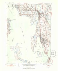
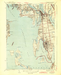
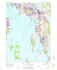
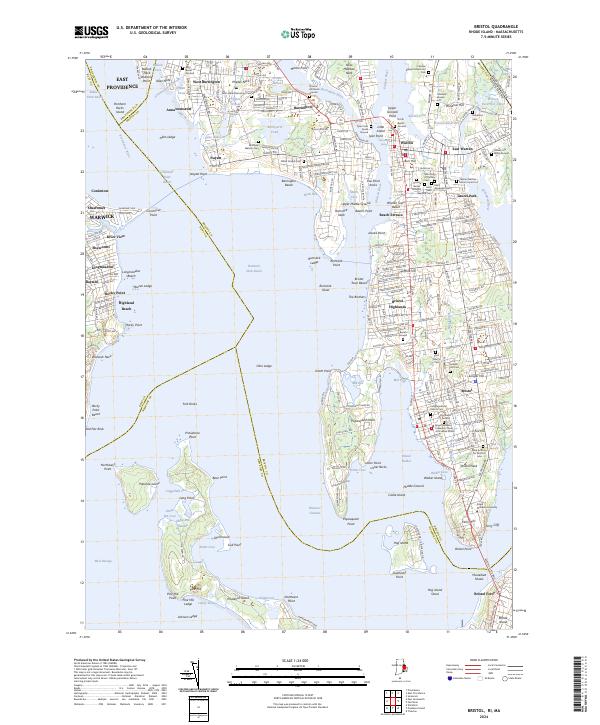
The coastal communities of Narragansett Bay and the Kickemuit River define this landscape, where the maritime heritage of Rhode Island is etched into the peninsula geography. At Bristol, the dense street grid gives way to prominent institutions like Roger Williams University and historic grounds including the Juniper Hill Cem. The map documents a high density of ancestral burial sites, from the Allin Burial Ground near Drown Cove to the Prince's Hill Burial Ground in Barrington.
Find a feature on this map
234 named features on this map. Tap any name to fly to it.
Don’t see what you’re looking for? This feature index may not catch every label — zoom into the map to look around manually.
Map Details
Editions of this 2024 Bristol Map
This is the sole edition of this map. No revisions or reprints were ever made.
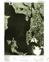
Historical Maps of Bristol Ferry Through Time
5 maps found