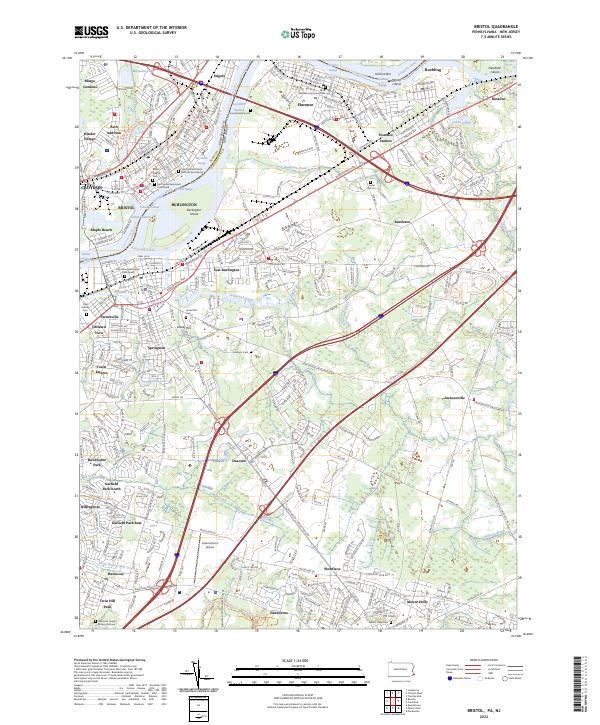
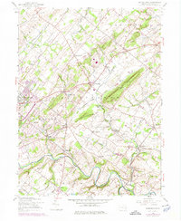
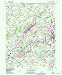
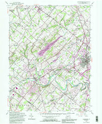
2023 Map of Bristol
USGS Topo · Published 2023About this map
Timbuctoo and the historic riverfront settlements along the Delaware River define this map of the borderlands between Pennsylvania and New Jersey. The landscape is a mix of dense residential development in Croydon and Bristol and the more industrial and agricultural stretches of Florence and Bustleton across the river. Notable religious and genealogical sites are scattered throughout, including the Saint Marks Roman Catholic Churchyard, the Hays Burial Ground, and the Rancocas Quaker Burying Ground.
Find a feature on this map
71 named features on this map. Tap any name to fly to it.
Don’t see what you’re looking for? This feature index may not catch every label — zoom into the map to look around manually.
Map Details
Editions of this 2023 Bristol Map
This is the sole edition of this map. No revisions or reprints were ever made.
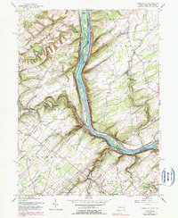
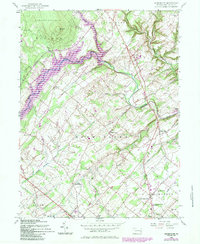
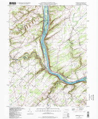
Historical Maps of Maple Beach Through Time
26 maps found

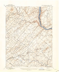
1890 Burlington
Bucks County, PA

1890 Doylestown
Bucks County, PA
1891 Doylestown
Bucks County, PA
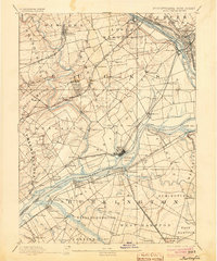
1893 Burlington
Bucks County, PA

1904 Burlington
Bucks County, PA
1906 Burlington
Bucks County, PA

1942 Burlington
Bucks County, PA
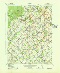
1943 Bedminster
Bucks County, PA
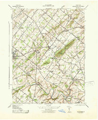
1943 Buckingham
Bucks County, PA
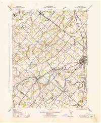
1943 Doylestown
Bucks County, PA

1943 Point Pleasant
Bucks County, PA
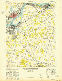
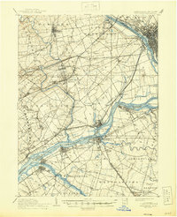
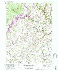
1947 Bristol
Bucks County, PA
1953 Buckingham
Bucks County, PA
1953 Doylestown
Bucks County, PA
1955 Lumberville
Bucks County, PA
1957 Bedminster
Bucks County, PA
1992 Bedminster
Bucks County, PA
1992 Doylestown
Bucks County, PA
1997 Lumberville
Bucks County, PA
1999 Buckingham
Bucks County, PA
1999 Doylestown
Bucks County, PA
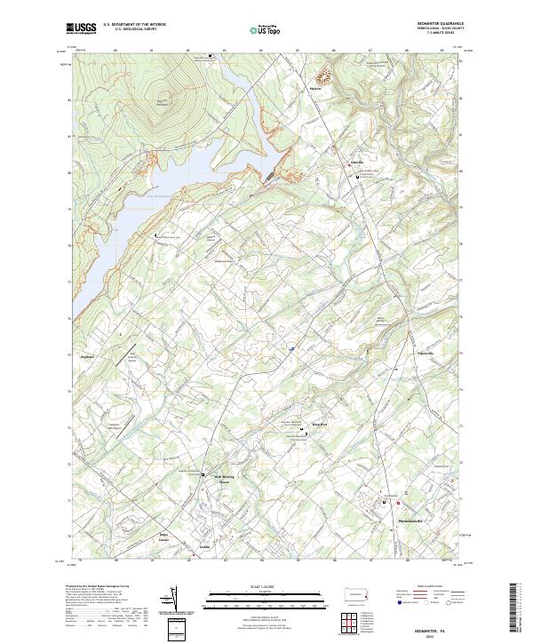
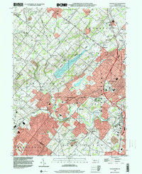
2023 Bedminster
Bucks County, PA
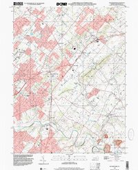
2023 Bristol
Bucks County, PA
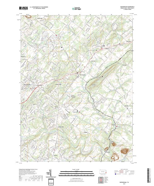
2023 Buckingham
Bucks County, PA
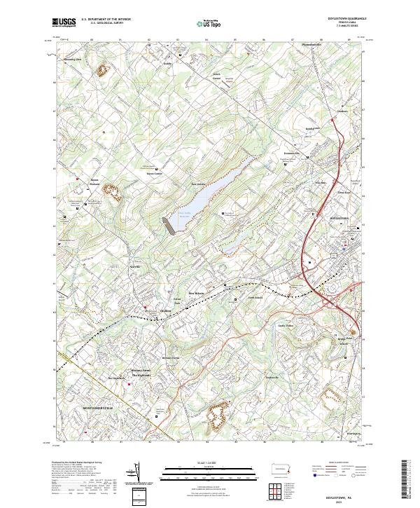
2023 Doylestown
Bucks County, PA
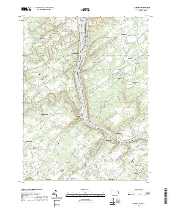
2023 Lumberville
Bucks County, PA
Featured Locations
- Florence Township, NJ
- Bordentown Township, NJ
- Willingboro Township, NJ
- Mount Holly Township, NJ
- Falls Township, PA